
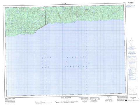
041N14 Dog Harbour Canada topo map, 1:50,000 scale
041N14 Dog Harbour NRCAN topographic map.
Includes UTM and GPS geographic coordinates (latitude and longitude). This 50k scale map is suitable for hiking, camping, and exploring, or you could frame it as a wall map.
Printed on-demand using high resolution, on heavy weight and acid free paper, or as an upgrade on a variety of synthetic materials.
Topos available on paper, Waterproof, Poly, or Tyvek. Usually shipping rolled, unless combined with other folded maps in one order.
- Product Number: NRCAN-041N14
- Parent Topo: TOPO-041N
- Map ID also known as: 041N14, 41N14
- Unfolded Size: Approximately 26" high by 36" wide
- Weight (paper map): ca. 55 grams
- Map Type: POD NRCAN Topographic Map
- Map Scale: 1:50,000
- Geographical region: Ontario, Canada
Neighboring Maps:
All neighboring Canadian topo maps are available for sale online at 1:50,000 scale.
Purchase the smaller scale map covering this area: Topo-041N
Spatial coverage:
Topo map sheet 041N14 Dog Harbour covers the following places:
- Dog Harbour - Dog Harbour - False Dog Harbour - Little Dog Harbour - McCoy's Harbour - Tamarack Bay - Minnekona Point - Point Isacor - Denison Falls - 31,23 - 32,23 - 33,23 - Algoma - Bostwick - Franchère - Groseilliers - Thunder Bay - Denison Lake - Lac Supérieur - Lake Superior - Little Trout Lake - Missing Lake - Bare Summit - Mountain Ash Hill - Campbell Creek - Dog (University) River - Dog River - Eagle River - Floating Heart River - Ghost River - Little Bear River - Little Ghost River - Makwa River - Mountain Ash River - Tamarack Creek - University River - The Flats


