
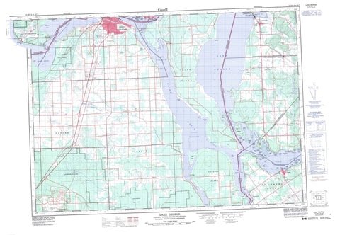
041K08 Lake George Canada topo map, 1:50,000 scale
041K08 Lake George NRCAN topographic map.
Includes UTM and GPS geographic coordinates (latitude and longitude). This 50k scale map is suitable for hiking, camping, and exploring, or you could frame it as a wall map.
Printed on-demand using high resolution, on heavy weight and acid free paper, or as an upgrade on a variety of synthetic materials.
Topos available on paper, Waterproof, Poly, or Tyvek. Usually shipping rolled, unless combined with other folded maps in one order.
- Product Number: NRCAN-041K08
- Parent Topo: TOPO-041K
- Map ID also known as: 041K08, 41K8, 41K08
- Unfolded Size: Approximately 26" high by 36" wide
- Weight (paper map): ca. 55 grams
- Map Type: POD NRCAN Topographic Map
- Map Scale: 1:50,000
- Geographical region: Ontario, Canada
Neighboring Maps:
All neighboring Canadian topo maps are available for sale online at 1:50,000 scale.
Purchase the smaller scale map covering this area: Topo-041K
Spatial coverage:
Topo map sheet 041K08 Lake George covers the following places:
- Brandon Harbour - Echo Bay - Marks Bay - Maskinonge Bay - McGregor Bay - Pointe aux Pins Bay - Birch Point - Boulanger Point - Chicken Point - Coyle Point - Findlay Point - Finlay Point - Green Point - Long Point - Ned Point - Niles Point - Pasture Point - Pointe aux Pins - Pointe des Chênes - Pointe Louise - Pumpkin Point - Reed Point - Stony Point - Stribling Point - East Neebish Channel - Munuscong Channel - St. Joseph Channel - Sault Ste. Marie - Algoma - Awenge - Hilton - Jocelyn - Laird - Macdonald - Parke - St. Joseph - Tarbutt - Tarbutt Additional - Garden River Indian Reserve 14 - Réserve indienne Garden River 14 - Almon Island - Baschine Island - Bowen Island - Cook Island - Duval Island - East Neebish Island - Foote Island - Forshaw Island - Gaffney Island - Great Maskinonge Island - Hattie Island - Horse Island - Iron Island - Kerby Island - Maskinonge (Pine) Island - Matthews Island - Mayo Island - Neyland Island - Pine Island - Rosseau Island - Sand Island - Sankey Island - Shingwauk Island - Shoal Island - Shoal Islands - St. Joseph Island - Sutton Island - Thorn Island - Toolie Island - Topsail Island - Watson Island - Lake George - Mary Ann Lake - Reserve Lake - Laird - Macdonald, Meredith and Aberdeen Additional - St. Joseph - Tarbutt and Tarbutt Additional - Anderson Creek - Bar River - Clark Creek - Coulters Creek - Rivière Ste-Marie - Shewfelt Creek - St. Mary River - St. Marys River - Two Tree River - Twotree Creek - Atlantic Rock - Cambria Bank - Chicora Shoal - Cupids Rock - Daniel Shoal - Empire Ledge - Finlay Rock - Hall Shoal - Leonard Reef - McAllister Reef - McGuire Rocks - McKinnon Rock - McLennan Rock - Merida Shoal - Morton Rock - Nanton Reef - Ross Shoal - Rosseau Shoal - Smith Shoal - Vidal Shoals - Wabuno Bank - Waubuno Bank - Whitestone Reef - Bar River - Carpin Beach - Echo Bay - Laird - MacLennan - Neebish - Pointe aux Pins - Pointe des Chênes - Pointe des Chênes East - Pointe des Chênes Park - Pointe des Chênes West - Pointe Louise - Port Findlay - Port Finlay - Richards Landing - Sailors Encampment - Sea Gull


