
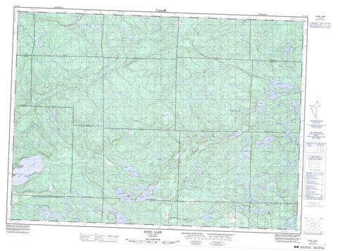
041J12 Echo Lake Canada topo map, 1:50,000 scale
041J12 Echo Lake NRCAN topographic map.
Includes UTM and GPS geographic coordinates (latitude and longitude). This 50k scale map is suitable for hiking, camping, and exploring, or you could frame it as a wall map.
Printed on-demand using high resolution, on heavy weight and acid free paper, or as an upgrade on a variety of synthetic materials.
Topos available on paper, Waterproof, Poly, or Tyvek. Usually shipping rolled, unless combined with other folded maps in one order.
- Product Number: NRCAN-041J12
- Parent Topo: TOPO-041J
- Map ID also known as: 041J12, 41J12
- Unfolded Size: Approximately 26" high by 36" wide
- Weight (paper map): ca. 55 grams
- Map Type: POD NRCAN Topographic Map
- Map Scale: 1:50,000
- Geographical region: Ontario, Canada
Neighboring Maps:
All neighboring Canadian topo maps are available for sale online at 1:50,000 scale.
Purchase the smaller scale map covering this area: Topo-041J
Spatial coverage:
Topo map sheet 041J12 Echo Lake covers the following places:
- Marble Point - Sand Point - 195 - 196 - 201 - 202 - 4G - Aberdeen - Aberdeen Additional - Algoma - Anderson - Chesley - Chesley Additional - Curtis - Cuthbertson - Galbraith - Gillmor - Haughton - Hodgins - Hurlburt - Kane - Kehoe - Macdonald - McMahon - Meredith - Morin - Otter - Reilly - Shingwaukonce - Whitman - Garden River Indian Reserve 14 - Réserve indienne Garden River 14 - Centre Island - Aberdeen Lake - Austin Lake - Bass Lake - Bijou Lake - Birch Lake - Birch Lake - Bottle Lake - Boundary Lake - Bruce Lake - Carpenter Lake - Cassidy Lake - Castleman Lake - Charley Lake - Chipman Lake - Conacher Lake - Cooper Lake - Crockatt Lake - Cuncic Lake - Daisy Mae Lake - Darragh Lake - Davieaux Lake - Desayeux Lake - Douglas Lake - Echo Lake - Erickson Lake - Ess Lake - Fairy Lake - Fern Lake - Fetherston Lake - Fish Lake - Gapp Lake - Garrick Lake - Giguere Lake - Gillmor Lake - Gimby Lake - Gracie Lake - Grant Lake - Green Lake - Hart Lake - Haversack Lake - Hoath Lake - Horner Lake - Hub Lake - Hugli Lake - Iron Lake - Kinahan Lake - Kinch Lake - Lamothe Lake - Lees Lake - Leishman Lake - Letz Lake - Lucille Lake - Lunkie Lake - Lutes Lake - McMahon Lake - Metivier Lake - Mole Lake - Moon Lake - One Horse Lake - Onion Lake - Osawomick Lake - Packsack Lake - Paquette Lake - Patten Lake - Pearl Lake - Petauguin Lake - Pine Island Lake - Primeau Lake - Quigley Lake - Rat Lake - Red Pine Lake - Red Rock Lake - Rheaume Lake - Roddy Lake - Round Lake - Roussain Lake - Saunders Lake - Shelden Lake - Skookum Lake - Smith Lake - Snare Lake - Solar Lake - Sorenson Lake - Spring Lake - Springsteele Lake - St. Onge Lake - Stilin Lake - Stuart Lake - Tarpaper Lake - Tee Lake - Thorp Lake - Toombs Lake - Topsy Lake - Towell Lake - Trotter Lake - Two Horse Lake - Vincent Lake - Wakegijig Lake - Wilson Lake - Echo River Hardwoods Conservation Reserve - Garden River Forest Conservation Reserve - Stuart Lake Wetland Conservation Reserve - Austin Creek - Bar Creek - Cassidy Creek - Coffee Creek - Cuddy Creek - Dam Creek - Echo River - Echo River - Garden River - Iron Creek - Kinch Creek - Leishman Creek - Letz Creek - Little Garden River - Lower Echo River - Mink Creek - Mississagi River - Pearl Creek - Silver Creek - South Creek - Stony Creek - Stuart Creek - Thessalon River - Upper Echo River - Wood Creek - Poplar Dale - Lost Man Swamp


