
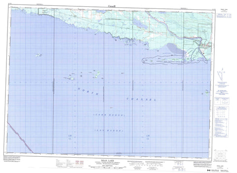
041J03 Dean Lake Canada topo map, 1:50,000 scale
041J03 Dean Lake NRCAN topographic map.
Includes UTM and GPS geographic coordinates (latitude and longitude). This 50k scale map is suitable for hiking, camping, and exploring, or you could frame it as a wall map.
Printed on-demand using high resolution, on heavy weight and acid free paper, or as an upgrade on a variety of synthetic materials.
Topos available on paper, Waterproof, Poly, or Tyvek. Usually shipping rolled, unless combined with other folded maps in one order.
- Product Number: NRCAN-041J03
- Parent Topo: TOPO-041J
- Map ID also known as: 041J03, 41J3, 41J03
- Unfolded Size: Approximately 26" high by 36" wide
- Weight (paper map): ca. 55 grams
- Map Type: POD NRCAN Topographic Map
- Map Scale: 1:50,000
- Geographical region: Ontario, Canada
Neighboring Maps:
All neighboring Canadian topo maps are available for sale online at 1:50,000 scale.
Purchase the smaller scale map covering this area: Topo-041J
Spatial coverage:
Topo map sheet 041J03 Dean Lake covers the following places:
- Barrets Harbour - Bishops Harbour - Foul Bight - Mississagi Bay - Beaumont Point - Bright Point - Cobden Peninsula - De Roberval Point - Dobie Point - Dog Point - Glanville Point - North Point - Patrick Point - Siccorde Point - Supply Point - Wolstan Point - Fisherman Gut - North Channel - Mississagi Falls - Algoma - Bright - Bright Additional - Cobden - Manitoulin - Thessalon - Thompson - Mississagi River 8 - Mississagi River Indian Reserve 8 - Réserve indienne Mississagi River 8 - Réserve indienne Thessalon 12 - Thessalon Indian Reserve 12 - Anchor Island - Bigsby Island - Bird Island - Burton Island - Burton Islands - Cobden Island - East Grant Island - Fishery Island - Fox Island - Hennepin Island - Herbert Island - Joliette Islands - La Salle Island - Middle Grant Island - Mississagi Island - Richelieu Island - Sayers Island - The French Islands - Tonty Island - Webber Island - West Grant Island - West Island - Woman Island - Bright Lake - Dean Lake - Everett Lake - Lac Huron - Pakowkami Lake - Day and Bright Additional - Howland - Huron Shores - Thessalon - Thompson - Mississagi Delta Provincial Nature Reserve - North Channel Inshore Provincial Park - Monkey Run - Cook Creek - Livingstone Creek - Mississagi River - Pahpashcah Creek - Pickerel Creek - Potomac River - West Branch - Barrets Range Rock - Barrett Bank - Briggs Rock - Butcher Boy Bank - Crowley Reef - Cumberland Rock - De Caen Rock - Dog Point Shoal - Fisk Reef - Horne Rock - Ivor Rocks - Leo Rock - McDonald Shoal - McGlashan Patch - North Point Shoal - Northwest Reef - Patrick Point Bank - Steeple Rock - Talon Rock - Blind River - Northeastern Manitoulin and the Islands - Dayton - Dayton - Dayton Station - Dean Lake - Eley - Heather - Mississagi - Mississauga - Nesterville


