
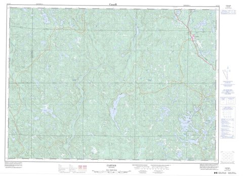
041I12 Cartier Canada topo map, 1:50,000 scale
041I12 Cartier NRCAN topographic map.
Includes UTM and GPS geographic coordinates (latitude and longitude). This 50k scale map is suitable for hiking, camping, and exploring, or you could frame it as a wall map.
Printed on-demand using high resolution, on heavy weight and acid free paper, or as an upgrade on a variety of synthetic materials.
Topos available on paper, Waterproof, Poly, or Tyvek. Usually shipping rolled, unless combined with other folded maps in one order.
- Product Number: NRCAN-041I12
- Parent Topo: TOPO-041I
- Map ID also known as: 041I12, 41I12
- Unfolded Size: Approximately 26" high by 36" wide
- Weight (paper map): ca. 55 grams
- Map Type: POD NRCAN Topographic Map
- Map Scale: 1:50,000
- Geographical region: Ontario, Canada
Neighboring Maps:
All neighboring Canadian topo maps are available for sale online at 1:50,000 scale.
Purchase the smaller scale map covering this area: Topo-041I
Spatial coverage:
Topo map sheet 041I12 Cartier covers the following places:
- Cochrane's Bay - Indian Bay - 107 - 108 - 114 - 115 - 119 - 120 - A - Acheson - Algoma - B - Bigelow - Cartier - Cascaden - Craig - Ermatinger - Hart - Hess - Moncrieff - Moses - Oshell - Ouellette - Rowat - Solski - Sudbury - Tofflemire - Totten - Trill - Venturi - Vernon - Weeks - Ferguson Island - Stanley Island - Taylor's Island - 24 Mile Lake - Acheson Lake - Alaska's Lake - Armstrong Lake - Benson Lake - Camp Ten Lake - Carhess Lake - Cartier Lake - Cascaden Lake - Charcoal Lake - Clear Lake - Crab Lake - Crazy Lake - Deerskin Lake - Depot Lake - Diamond Lake - Division Lake - Dowes Lake - Downes Lake - Dry Lake - Duck Lake - Duncan Lake - East Totten Lake - Ferguson Lake - Four Mile Lake - Fox Lake - Geneva Lake - Georgia Lake - Green Lake - Green Lake - Hess Lake - Island Lake - Johnson Lake - Johnson Lake - Leaning Pine Lake - Len Lake - Little Craig Lake - Little Irene Lake - Long Lake - Loon Lake - Lost Lake - Lower Shakwa Lake - Macaulay Lake - McCool Lake - Ministic Lake - Moon Lake - Mosquito Lake - Mountain Lake - Mousseau Lake - Mud Lake - New Sawmill Lake - Otter Lake - Pibroch Lake - Pistol Lake - Reynolds Lake - Rushbrook Lake - S Lake - Sandys Lake - Sawmill Lake - Shank Lake - Silt Lake - Soucie Lake - Southwest Snider Lake - Spanish Lake - Three Mile Lake - Titmouse Lake - Totten Lake - Twin Lakes - Vignette Lake - Weequed Lake - West Cameron Lake - Whitefish Lake - Cartier Moraine Conservation Reserve - Centre Creek Old Growth White Pine Conservation Reserve - Rushbrook Provincial Park - Spanish River Provincial Park - Cedar Rapids - Graveyard Rapids - The Ladders - Agnes River - Alces Creek - Armstrong Creek - Bannerman Creek - Cameron Creek - Centre Creek - Charcoal Creek - Crazy Creek - Depot Creek - Geneva Creek - Hess Creek - John Creek - John Creek - Miller Creek - Ministic Creek - Moncrieff Creek - Pumphouse Creek - Reynolds Creek - Rushbrook Creek - Spanish River - Sucker Creek - Totten Creek - Wakonassin River - Weequed Creek - The Elbow - Cartier


