
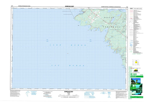
041H04 Dorcas Bay Canada topo map, 1:50,000 scale
041H04 Dorcas Bay NRCAN topographic map.
Includes UTM and GPS geographic coordinates (latitude and longitude). This 50k scale map is suitable for hiking, camping, and exploring, or you could frame it as a wall map.
Printed on-demand using high resolution, on heavy weight and acid free paper, or as an upgrade on a variety of synthetic materials.
Topos available on paper, Waterproof, Poly, or Tyvek. Usually shipping rolled, unless combined with other folded maps in one order.
- Product Number: NRCAN-041H04
- Parent Topo: TOPO-041H
- Map ID also known as: 041H04, 41H4, 41H04
- Unfolded Size: Approximately 26" high by 36" wide
- Weight (paper map): ca. 55 grams
- Map Type: POD NRCAN Topographic Map
- Map Scale: 1:50,000
- Geographical region: Ontario, Canada
Neighboring Maps:
All neighboring Canadian topo maps are available for sale online at 1:50,000 scale.
Purchase the smaller scale map covering this area: Topo-041H
Spatial coverage:
Topo map sheet 041H04 Dorcas Bay covers the following places:
- Baie Georgienne - Baptist Harbour - China Cove - Corisande Bay - Dorcas Bay - Driftwood Cove - Dunks Bay - Eagle Harbour - Fisherman Cove - Georgian Bay - Hay Bay - Hopkins Bay - Indian Harbour - Johnston Harbour - Johnston's Harbour - Ladyslipper Bay - Little Cove - Little Eagle Harbour - Murray Bay - Pine Tree Harbour - Ragged Bight - Warner Bay - Boulder Beach - Bruce Peninsula - Cape Hurd - Coal Oil Point - Deadman Point - Eagle Point - Halfway Rock Point - Hopkins Point - Johnston Point - Johnston's Point - Long Point - Overhanging Point - Pendall Point - Pine Tree Point - Porcupine Point - Terry Point - Warner Point - Cape Hurd Channel - Devil Island Channel - Bruce - St. Edmunds - Cape Croker Hunting Ground Indian Reserve 60B - Réserve indienne Cape Croker Hunting Ground 60B - Réserve indienne Saugeen Hunting Grounds 60A - Saugeen Hunting Grounds 60A - Saugeen Hunting Grounds Indian Reserve 60A - Baptist Island - Bonnet Island - Youell Island - Zinkan Island - Barney Lake - Cameron Lake - Cyprus Lake - Horse Lake - Lac Huron - Lake Huron - Loon Lake - Marr Lake - Scugog Lake - Bruce - Eastnor - Lindsay - Northern Bruce Peninsula - St. Edmunds - Bruce Peninsula National Park of Canada - Cabot Head Provincial Nature Reserve - Cyprus Lake Provincial Park - Fathom Five National Marine Park of Canada - Fathom Five Provincial Park - Johnston Harbour-Pine Tree Point Provincial Nature Reserve - Little Cove Provincial Nature Reserve - Parc marin national du Canada Fathom Five - Parc national du Canada de la Péninsule-Bruce - Brinkman Creek - Brinkman's Creek - Crane River - Sideroad Creek - Willow Creek - Arbutus Rock - Baptist Rock - Campbell Reef - Cataract Rock - China Reef - Earl Patches - Gilphie Reef - Huntress Reef - Porcupine Reef - Southeast Bank - Southwest Bank - Horseshoe Marsh - McLander Marsh - Threeway Swamp - Whiskey Still Marsh - William Henry Marsh


