
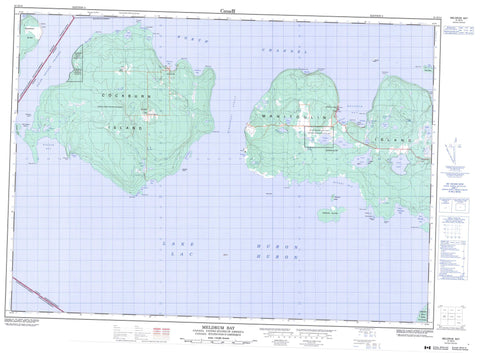
041G14 Meldrum Bay Canada topo map, 1:50,000 scale
041G14 Meldrum Bay NRCAN topographic map.
Includes UTM and GPS geographic coordinates (latitude and longitude). This 50k scale map is suitable for hiking, camping, and exploring, or you could frame it as a wall map.
Printed on-demand using high resolution, on heavy weight and acid free paper, or as an upgrade on a variety of synthetic materials.
Topos available on paper, Waterproof, Poly, or Tyvek. Usually shipping rolled, unless combined with other folded maps in one order.
- Product Number: NRCAN-041G14
- Parent Topo: TOPO-041G
- Map ID also known as: 041G14, 41G14
- Unfolded Size: Approximately 26" high by 36" wide
- Weight (paper map): ca. 55 grams
- Map Type: POD NRCAN Topographic Map
- Map Scale: 1:50,000
- Geographical region: Ontario, Canada
Neighboring Maps:
All neighboring Canadian topo maps are available for sale online at 1:50,000 scale.
Purchase the smaller scale map covering this area: Topo-041G
Spatial coverage:
Topo map sheet 041G14 Meldrum Bay covers the following places:
- Belanger Bay - Big Bay - Boat Harbour - Boathouse Bay - Bonnie Doon - Burn's Bay - Burnt Cove - Doc Hewson Bay - Double Cove - East Belanger Bay - Greene Island Harbour - Hyndman Bay - Macrae Cove - Meldrum Bay - Mud Bay - Mundy's Bay - Newbery Cove - Quarry Bay - Rickett Harbour - Ricketts Harbour - Robinson Bay - Sand Bay - Tolsma Bay - Vidal Bay - Wagosh Bay - West Belanger Bay - Belanger Point - Boom Point - Brittomart Point - Chamberlain Point - Channel Point - Cinder Point - Devils Horn - Girouard Point - Lynn Point - Meldrum Point - Monk Point - Muriel Point - Pitman Point - Pulpwood Point - Quarry Point - Ross Point - Smith Point - Smith Point - Station Point - Thompson Point - Twenty Minute Point - West Point - Whitly Point - False Detour Channel - Mississagi Strait - North Channel - Algoma - Cockburn Island - Dawson - Manitoulin - Cockburn Island Indian Reserve 19 - Réserve indienne Cockburn Island 19 - Réserve indienne Zhiibaahaasing 19 - Zhiibaahaasing 19 - Zhiibaahaasing Indian Reserve 19 - Avis Island - Batture Island - Cockburn Island - Duck Islands - Dunn Island - Eagle Island - Grant Islands - Greene Island - Herschell Island - Kitchener Island - Little Kitchener Island - Magnetic Island - Manitoulin Island - McRae's Island - Pearson Island - Steevens Island - Vidal Island - Welsh Island - Western Duck Island - Bass Lake - Birchbark Lake - Blake Lake - Burnett Lake - Carter Lake - Falls Lake - Gravy Lake - Hog Lake - Kerr Lake - Lac Huron - Lake Huron - Lily Lake - Linda Lake - Loon Lake - Maple Lake - Pothole Lake - Robb Lake - Sand Lake - Totten Lake - Twin Lakes - Wagosh Lake - West Bass Lake - Wicket Lake - Wickett Lake - Young Lake - McCaigs Hill - McQuaigs Hill - Cockburn Island - Day and Bright Additional - Howland - Huron Shores - Thessalon - Thompson - Sand Creek - Ainslie Shoal - Carter Rock - Castilian Shoal - Danville Ground - East Reef - Jones Shoal - Labrador Reef - Magnetic Reef - Magnetic Reefs - McKay Rock - Middle Reef - Mink Reef - North Reef - Pitman Bank - Purvis Bank - South Reef - West Duck Reef - West Reef - Western Duck Reef - Wiggins Bank - Northeastern Manitoulin and the Islands - Cockburn Island - Meldrum Bay - Nesterville - Scotch Block - Scots Block - Tolsmaville


