
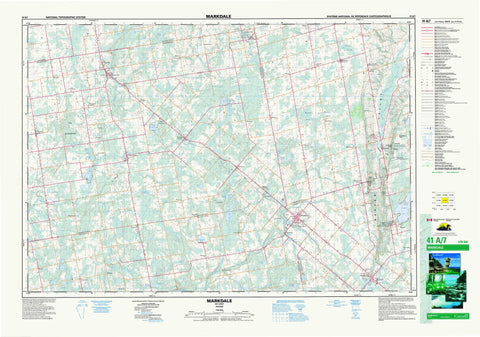
041A07 Markdale Canada topo map, 1:50,000 scale
041A07 Markdale NRCAN topographic map.
Includes UTM and GPS geographic coordinates (latitude and longitude). This 50k scale map is suitable for hiking, camping, and exploring, or you could frame it as a wall map.
Printed on-demand using high resolution, on heavy weight and acid free paper, or as an upgrade on a variety of synthetic materials.
Topos available on paper, Waterproof, Poly, or Tyvek. Usually shipping rolled, unless combined with other folded maps in one order.
- Product Number: NRCAN-041A07
- Parent Topo: TOPO-041A
- Map ID also known as: 041A07, 41A7, 41A07
- Unfolded Size: Approximately 26" high by 36" wide
- Weight (paper map): ca. 55 grams
- Map Type: POD NRCAN Topographic Map
- Map Scale: 1:50,000
- Geographical region: Ontario, Canada
Neighboring Maps:
All neighboring Canadian topo maps are available for sale online at 1:50,000 scale.
Purchase the smaller scale map covering this area: Topo-041A
Spatial coverage:
Topo map sheet 041A07 Markdale covers the following places:
- West Arm Rocky Saugeen River - Plant's Point - Eugenia Falls - Walters Falls - Artemesia - Bentinck - Derby - Euphrasia - Glenelg - Grey - Holland - St. Vincent - Sullivan - Sydenham - Anderson Lake - Barrhead Mill Pond - Bells Lake - Binns Lake - Black's Lake - Bluewater Lakes - Boyd Lake - Brotske Lake - Clarke's Lake - Connell's Lake - Copps Lake - Curleys Lake - Duncan Lake - Eugenia Lake - Farden Lake - Flesherton Community Pond - Harrison Lake - Hines Lake - Irish Lake - Louise Lake - Marshall's Lake - McCullough Lake - McGill Lake - Minkes Lake - Mountain Lake - Mud Lake - Mud Lake - Mud Lake North - Negro Lakes - North Louise Lake - Robson Lake - Robson Lakes - Robson Lakes - Robson Lakes - Robson Lakes - Robson Lakes - Sargents Lake - Stewart Lakes - Sunken Lake - Tobermory Lake - Town Pond - Townsend Lake - Walker Lake - Welbeck Mill Pond - Williams Lake - Young's Lake - Bowles Hill - Mount Pleasant - Old Baldy - The Klondike - Grey - Artemesia - Bentinck - Chatsworth - Derby - Euphrasia - Georgian Bluffs - Glenelg - Grey Highlands - Holland - Keppel - Normanby - Osprey - Sarawak - St. Vincent - Sullivan - Sydenham - West Grey - Armstrong Creek - Barhead Creek - Barrhead Creek - Beaver River - Bighead River - Bill's Creek - Blacks Creek - Black's Creek - Boyne River - Congers Creek - Deer Creek - Flesherton Creek - Hamilton Creek - Johnston's Creek - Louise Creek - McKechnie Creek - Middleton Creek - Mountain Creek - Negro Creek - North Saugeen River - North Spey River - Rocklyn Creek - Rocky Saugeen River - Sable River - Sauble River - Spey River - Styx River - Sydenham River - Traverston Creek - Walters Creek - Wodehouse Creek - Kimberley Rock - McCluskey's Rock - Georgian Highlands - Meaford - Arnott - Barhead - Barrhead - Beaver Valley - Beaverdale - Bentinck - Berkeley - Blantyre - Chatsworth - Crawford - Desboro - Dornoch - Epping - Eugenia - Fairmount - Flesherton - Glascott - Goring - Harkaway - Hemstock Mills - Holford - Holland Centre - Hutchisons Corners - Irish Lake - Keward - Kimberley - Kinghurst - Lauriston - Lily Oak - Louise - Lueck Mill - Markdale - Massie - Mooresburg - Rock Mills - Rocklyn - Strathavon - Sullivan Mills - Temple Hill - Traverston - Vandeleur - Walters Falls - Wandby - Waudby - Welbeck - Williamsford - Wodehouse - Beaver Valley - Bowles Gully - Cuckoo Valley - Kimberley Valley - Beaverdale Marsh - Rocklyn Swamp - The Sinkhole - Wodehouse Marsh


