
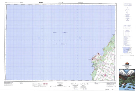
041A05 Tiverton Canada topo map, 1:50,000 scale
041A05 Tiverton NRCAN topographic map.
Includes UTM and GPS geographic coordinates (latitude and longitude). This 50k scale map is suitable for hiking, camping, and exploring, or you could frame it as a wall map.
Printed on-demand using high resolution, on heavy weight and acid free paper, or as an upgrade on a variety of synthetic materials.
Topos available on paper, Waterproof, Poly, or Tyvek. Usually shipping rolled, unless combined with other folded maps in one order.
- Product Number: NRCAN-041A05
- Parent Topo: TOPO-041A
- Map ID also known as: 041A05, 41A5, 41A05
- Unfolded Size: Approximately 26" high by 36" wide
- Weight (paper map): ca. 55 grams
- Map Type: POD NRCAN Topographic Map
- Map Scale: 1:50,000
- Geographical region: Ontario, Canada
Neighboring Maps:
All neighboring Canadian topo maps are available for sale online at 1:50,000 scale.
Purchase the smaller scale map covering this area: Topo-041A
Spatial coverage:
Topo map sheet 041A05 Tiverton covers the following places:
- Baie du Doré - Holmes Bay - Inverhuron Bay - Douglas Point - Gunn Point - Macpherson Point - McRae Point - Scott Point - Bruce - Bruce - Kincardine - Saugeen - Lac Huron - Lake Huron - Bruce - Bruce - Kincardine - Kincardine - Kincardine-Bruce-Tiverton - Saugeen - Inverhuron Provincial Park - MacGregor Point Provincial Park - Andrews Creek - Little Sauble River - North Saugeen River - Tiverton Creek - Underwood Creek - Loscombe Bank - Scougall Bank - Welsh Bank - Saugeen Shores - Baie du Doré - Inverhuron - Tiverton


