
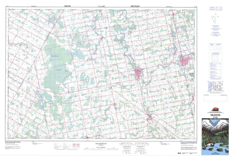
041A03 Walkerton Canada topo map, 1:50,000 scale
041A03 Walkerton NRCAN topographic map.
Includes UTM and GPS geographic coordinates (latitude and longitude). This 50k scale map is suitable for hiking, camping, and exploring, or you could frame it as a wall map.
Printed on-demand using high resolution, on heavy weight and acid free paper, or as an upgrade on a variety of synthetic materials.
Topos available on paper, Waterproof, Poly, or Tyvek. Usually shipping rolled, unless combined with other folded maps in one order.
- Product Number: NRCAN-041A03
- Parent Topo: TOPO-041A
- Map ID also known as: 041A03, 41A3, 41A03
- Unfolded Size: Approximately 26" high by 36" wide
- Weight (paper map): ca. 55 grams
- Map Type: POD NRCAN Topographic Map
- Map Scale: 1:50,000
- Geographical region: Ontario, Canada
Neighboring Maps:
All neighboring Canadian topo maps are available for sale online at 1:50,000 scale.
Purchase the smaller scale map covering this area: Topo-041A
Spatial coverage:
Topo map sheet 041A03 Walkerton covers the following places:
- Bentinck - Brant - Bruce - Bruce - Carrick - Culross - Greenock - Grey - Huron - Kincardine - Kinloss - Normanby - Ackert Drain - Barry Lake - Bester Lake - Cargill Mill Pond - Clam Lake - Cunningham Lake - Dankert Lake - Gordon Lake - Habermehl Lake - Hamel's Pond - Hayes Lake - Hodgins Lake - Lake Rosalind - Marl Lake - Marl Lakes - Marl Lakes - McFarlane Lake - McGlinn Lake - Metzger Pond - Meyer Lake - Mullin's Mill Pond - Otter Lake - Pearl Lake - Plum Lake - Ruhl Lake - Schmidt Lake - Silver Lake - Statters Lake - Westfall's Lake - Witter's Pond - Douglas Hill - Bruce - Grey - Bentinck - Bentinck - Brant - Brockton - Bruce - Carrick - Culross - Glenelg - Greenock - Huron - Huron-Kinloss - Kincardine - Kincardine - Kincardine-Bruce-Tiverton - Kinloss - Mildmay-Carrick - Normanby - South Bruce - Teeswater-Culross - West Grey - Allens Creek - Andrews Creek - Beatty Saugeen River - Carrick Creek - Deer Creek - Eighteen Mile River - Formosa Creek - Greenock Creek - Habermehl Creek - Kincardine Creek - Kinlough Creek - Marl Creek - Meux Creek - North Penetangore River - Otter Creek - Pearl Creek - Penetangore River - Pine River - Plum Creek - Royal Oak Creek - Ruhl Creek - Saugeen River - Schmidt Creek - Silver Creek - South Pine River - South Saugeen River - Teeswater River - Tiverton Creek - Willow Creek - Hanover - Ambleside - Bervie - Bradley - Cargill - Cargill Siding - Carlsruhe - Chepstow - Deemerton - Dunkeld - Eden Grove - Elmwood - Eskdale - Formosa - Glammis - Greenock - Habermehl - Holyrood - Kingarf - Kinloss - Kinlough - Lake Rosalind - Little Egypt - Malcolm - Maple Hill - Mildmay - Moltke - Narva - Neustadt - Otter Creek - Pearl Lake - Pinkerton - Pinkerton Station - Portal - Riversdale - Salem - Teeswater - Walkerton - Westford - Greenock Swamp


