
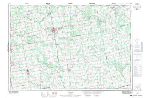
041A02 Durham Canada topo map, 1:50,000 scale
041A02 Durham NRCAN topographic map.
Includes UTM and GPS geographic coordinates (latitude and longitude). This 50k scale map is suitable for hiking, camping, and exploring, or you could frame it as a wall map.
Printed on-demand using high resolution, on heavy weight and acid free paper, or as an upgrade on a variety of synthetic materials.
Topos available on paper, Waterproof, Poly, or Tyvek. Usually shipping rolled, unless combined with other folded maps in one order.
- Product Number: NRCAN-041A02
- Parent Topo: TOPO-041A
- Map ID also known as: 041A02, 41A2, 41A02
- Unfolded Size: Approximately 26" high by 36" wide
- Weight (paper map): ca. 55 grams
- Map Type: POD NRCAN Topographic Map
- Map Scale: 1:50,000
- Geographical region: Ontario, Canada
Neighboring Maps:
All neighboring Canadian topo maps are available for sale online at 1:50,000 scale.
Purchase the smaller scale map covering this area: Topo-041A
Spatial coverage:
Topo map sheet 041A02 Durham covers the following places:
- Hayward Falls - Artemesia - Bentinck - Bruce - Carrick - East Luther - Egremont - Glenelg - Grey - Luther - Minto - Normanby - Proton - Wellington - West Luther - Allan Park Trout Pond - Black Lake - Gillies Lake - Holstein Dam - MacCuaig Lake - Matthews Lake - McCormick Lake - McDonald Lake - McLean Lake - Moss Lake - Turner Lake - Westfall's Lake - Wilcox Lake - Wilder Lake - Bruce - Grey - Wellington - Artemesia - Arthur - Bentinck - Bentinck - Carrick - Culross - Egremont - Euphrasia - Glenelg - Grey Highlands - Luther - Mapleton - Mildmay-Carrick - Mount Forest/Arthur/West Luther/Arthur - Normanby - Osprey - Proton - South Bruce - Southgate - Teeswater-Culross - Wellington North - West Garafraxa - West Grey - West Luther - Allan Park Conservation Area - Durham Conservation Area - Aljoe Creek - Beatty Saugeen River - Boyne River - Camp Creek - Fairbanks Creek - Meux Creek - Norman Reeves Creek - Rocky Saugeen River - Saugeen River - South Saugeen River - Styx River - Traverston Creek - Hanover - Minto - Aberdeen - Allan Park - Allan Park Station - Alsfeldt - Alsfeldt Station - Ayton - Ayton Siding - Ayton Station - Bieman's Corners - Biemansville - Birdell - Boothville - Bunessan - Calderwood - Cedarville - Ceylon - Dromore - Durham - Ebordale - Edge Hill - Egerton - Flesherton Station - Gildale - Glen - Glenelg Centre - Hampden - Holstein - Hopeville - Lamlash - Landerkin - Lauderbach - Letterbreen - Maple Lane - McWilliams - Mulock - Nenagh - Neustadt - Orchard - Orchardville - Pomona - Priceville - Robb - Robbtown - Rocky Saugeen - Saugeen - Swinton Park - Tartan - Thistle - Topcliff - Varney - Vickers - Wilcox Lake - Yeovil - Zion


