
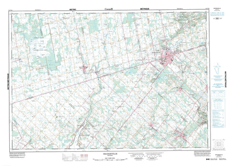
040P16 Orangeville Canada topo map, 1:50,000 scale
040P16 Orangeville NRCAN topographic map.
Includes UTM and GPS geographic coordinates (latitude and longitude). This 50k scale map is suitable for hiking, camping, and exploring, or you could frame it as a wall map.
Printed on-demand using high resolution, on heavy weight and acid free paper, or as an upgrade on a variety of synthetic materials.
Topos available on paper, Waterproof, Poly, or Tyvek. Usually shipping rolled, unless combined with other folded maps in one order.
- Product Number: NRCAN-040P16
- Parent Topo: TOPO-040P
- Map ID also known as: 040P16, 40P16
- Unfolded Size: Approximately 26" high by 36" wide
- Weight (paper map): ca. 55 grams
- Map Type: POD NRCAN Topographic Map
- Map Scale: 1:50,000
- Geographical region: Ontario, Canada
Neighboring Maps:
All neighboring Canadian topo maps are available for sale online at 1:50,000 scale.
Purchase the smaller scale map covering this area: Topo-040P
Spatial coverage:
Topo map sheet 040P16 Orangeville covers the following places:
- East Bay - Island's Bay - Devils Pulpit - Niagara Escarpment - Amaranth - Caledon - Dufferin - East Garafraxa - East Luther - Eramosa - Erin - Garafraxa - Luther - Mono - Nichol - Peel - Peel - Perth - Wellington - West Garafraxa - West Luther - Big Island - Esker Island - Hamilton Island - Mainland's Island - Prairie Island - Stonehouse Island - Windmill Island - Allens Lakes - Belwood Lake - Caledon Lake - Caledon Lakes - Cooks Lakes - Cressview Lakes - Dufferin Lake - Green Lake - Humber Springs Ponds - Islands Lake - Lake Belwood - Luther Lake - McCallum's Pond - Melville Pond - Mud Lake - Orangeville Reservoir - Orpen Lake - Roman Lake - Second Caledon Lake - Sharon Lake - Melville Hill - Mono Hills - Morrow's Hill - Purple Hill - The Pinnacle - Twenty Five Hill - Dufferin - Peel - Wellington - Amaranth - Arthur - Centre Wellington - Chinguacousy - East Garafraxa - East Luther - East Luther Grand Valley - Eramosa - Eramosa - Erin - Garafraxa - Garafraxa - Guelph - Guelph/Eramosa - Luther - Luther - Mapleton - Mapleton - Maryborough - Mount Forest/Arthur/West Luther/Arthur - Nassagaweya - Nichol - Nichol - Nichol - Peel - Pilkington - Pilkington - Pilkington - Puslinch - Wellington North - West Garafraxa - West Garafraxa - West Garafraxa - West Luther - Belfountain Conservation Area - Belwood Lake Conservation Area - Erin Conservation Area - Forks of the Credit Provincial Park - Grand Valley Conservation Area - Hockley Valley Provincial Nature Reserve - Luther Marsh Conservation Area - Monora Conservation Area - Orangeville Reservoir Conservation Area - Wilcox Conservation Area - Cannings Falls - Black Creek - Boyne Creek - Caledon Creek - Conestogo River - Credit River - Credit River (Alton Branch) - Credit River (Erin Branch) - Credit River Alton Branch - Four Mile Creek - Grand River - Irvine Creek - Mill Creek - Monora Creek - Nottawasaga River - Ospringe Creek - Speed River - West Credit River - Willow Brook - Albion - Caledon - Erin - Mono - Orangeville - Alton - Amaranth Station - Belfountain - Belwood - Binkham - Blount - Bowling Green - Brimstone - Caledon Village - Camilla - Campania - Cardwell - Cataract - Cedar Valley - Colbeck - Coulterville - Craigsholme - Cumnock - Damascus - Dracon - Erin - Farmington - Fraxa - Fraxa Junction - Garafraxa Woods - Glen Cross - Grand Valley - Green Park - Hereward - Hillsburgh - Laurel - Leggatt - Living Springs - Marsville - McLeodville - Melville - Metz - Monck - Monticello - Mount View - Orton - Peepabun - Prices Corner - Purple Hill - Reading - Rosehill - Salem - Simpson Corners - Starrview Acres - Tamarac Estates - Tarbert - The Maples - Waldemar - Whittington - Woodside - Hockley Valley - Luther Marsh - North Bog - South Bog


