
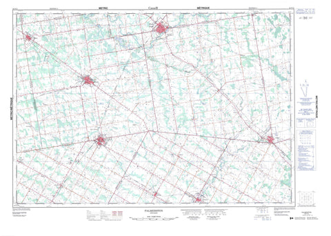
040P15 Palmerston Canada topo map, 1:50,000 scale
040P15 Palmerston NRCAN topographic map.
Includes UTM and GPS geographic coordinates (latitude and longitude). This 50k scale map is suitable for hiking, camping, and exploring, or you could frame it as a wall map.
Printed on-demand using high resolution, on heavy weight and acid free paper, or as an upgrade on a variety of synthetic materials.
Topos available on paper, Waterproof, Poly, or Tyvek. Usually shipping rolled, unless combined with other folded maps in one order.
- Product Number: NRCAN-040P15
- Parent Topo: TOPO-040P
- Map ID also known as: 040P15, 40P15
- Unfolded Size: Approximately 26" high by 36" wide
- Weight (paper map): ca. 55 grams
- Map Type: POD NRCAN Topographic Map
- Map Scale: 1:50,000
- Geographical region: Ontario, Canada
Neighboring Maps:
All neighboring Canadian topo maps are available for sale online at 1:50,000 scale.
Purchase the smaller scale map covering this area: Topo-040P
Spatial coverage:
Topo map sheet 040P15 Palmerston covers the following places:
- Arthur - Bruce - Carrick - East Garafraxa - East Luther - Egremont - Elma - Garafraxa - Grey - Howick - Huron - Luther - Maryborough - Minto - Normanby - Peel - Perth - Proton - Wallace - Wellington - West Garafraxa - West Luther - Ballinafad Lake - Pike Lake - Bruce - Grey - Huron - Perth - Wellington - Arthur - Bentinck - Carrick - Culross - Egremont - Egremont - Elma - Glenelg - Howick - Luther - Mapleton - Mapleton - Maryborough - Mildmay-Carrick - Mount Forest/Arthur/West Luther/Arthur - Nichol - Normanby - Peel - Pilkington - Proton - South Bruce - Southgate - Teeswater-Culross - Wallace - Wellington North - West Garafraxa - West Garafraxa - West Grey - West Luther - Bethel Creek - Brandy Creek - Conestogo River - Coon Creek - Fairbanks Creek - Farleys Creek - Four Mile Creek - Little Maitland River - Maitland River - Mallet River - Meux Creek - Middle Maitland River - Mitchell's Creek - Red Creek - Smoky Creek - South Saugeen River - Minto - North Perth - Arthur - Bosworth - Brotherston - Clare - Clifford - Conn - Cotswold - Derrynane - Drayton - Drew - Dryden - Farewell - Fultons - Glenlee - Gordonville - Gowanstown - Harriston - Harriston Junction - Kenilworth - Kurtzville - Melgund - Minto - Moorefield - Mount Forest - Newbridge - Olivet - Palmerston - Parker - Petherton - Redgrave - Riverbank - Riverstown - Rothsay - Shipley - Smithhurst - Stonywood - Teviotdale - Trecastle - Wagram - Wallace - Whites Junction - Smoky Hollow


