
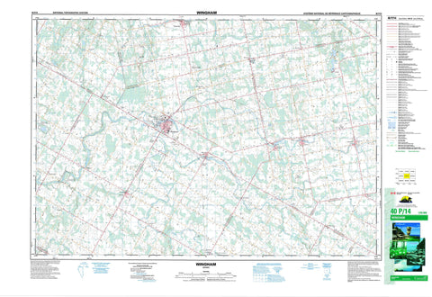
040P14 Wingham Canada topo map, 1:50,000 scale
040P14 Wingham NRCAN topographic map.
Includes UTM and GPS geographic coordinates (latitude and longitude). This 50k scale map is suitable for hiking, camping, and exploring, or you could frame it as a wall map.
Printed on-demand using high resolution, on heavy weight and acid free paper, or as an upgrade on a variety of synthetic materials.
Topos available on paper, Waterproof, Poly, or Tyvek. Usually shipping rolled, unless combined with other folded maps in one order.
- Product Number: NRCAN-040P14
- Parent Topo: TOPO-040P
- Map ID also known as: 040P14, 40P14
- Unfolded Size: Approximately 26" high by 36" wide
- Weight (paper map): ca. 55 grams
- Map Type: POD NRCAN Topographic Map
- Map Scale: 1:50,000
- Geographical region: Ontario, Canada
Neighboring Maps:
All neighboring Canadian topo maps are available for sale online at 1:50,000 scale.
Purchase the smaller scale map covering this area: Topo-040P
Spatial coverage:
Topo map sheet 040P14 Wingham covers the following places:
- Bruce - Carrick - Culross - East Wawanosh - Elma - Grey - Howick - Hullett - Huron - Kinloss - Morris - Perth - Turnberry - Wallace - Wawanosh - West Wawanosh - Ackert Drain - Bennett Drain - Day Drain - Douglas Award Drain - McCutcheon Drain - Patterson Creek Drain - Vittie Drain - Wills Drain - Blind Lake - Lakelet Lake - Purvis Lake - Wraith's Lake - Wroxeter Mill Pond - The Alps - Bruce - Huron - Perth - Ashfield - Ashfield-Colborne-Wawanosh - Carrick - Central Huron - Colborne - Culross - East Wawanosh - Elma - Goderich - Grey - Howick - Hullett - Huron - Huron-Kinloss - Kinloss - McKillop - Mildmay-Carrick - Morris - Morris-Turnberry - North Huron - South Bruce - Teeswater-Culross - Tuckersmith - Turnberry - Wallace - West Wawanosh - Wawanosh Lake Conservation Area - Wawanosh Valley Conservation Area - Alps Creek - Belgrave Creek - Belmore Creek - Blyth Brook - Carrick Creek - Dickies Creek - Lakelet Creek - Little Maitland River - Maitland River - Middle Maitland River - Muskrat Creek - Otter Creek - St. Augustine Creek - St. Helens Creek - Teeswater River - Huron East - North Perth - Belgrave - Belmore - Bluevale - Bluevale Siding - Bluevale Station - Brussels - Donnybrook - Fordwich - Fordyce - Glen Farrow - Glenannan - Gorrie - Huntingfield - Hutton Heights - Jamestown - Lakelet - Langside - Lower Langside - Lower Wingham - Marnoch - Mayne - Mayne Corners - McIntosh - Molesworth - Sunshine - Teeswater - Westfield - Whitechurch - Wingham - Wingham Junction - Wingham Junction - Wroxeter


