
040P10 Conestogo Canada topo map, 1:50,000 scale
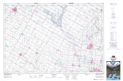
040P10 Conestogo NRCAN topographic map.
Includes UTM and GPS geographic coordinates (latitude and longitude). This 50k scale map is suitable for hiking, camping, and exploring, or you could frame it as a wall map.
Printed on-demand using high resolution, on heavy weight and acid free paper, or as an upgrade on a variety of synthetic materials.
Topos available on paper, Waterproof, Poly, or Tyvek. Usually shipping rolled, unless combined with other folded maps in one order.
- Product Number: NRCAN-040P10
- Parent Topo: TOPO-040P
- Map ID also known as: 040P10, 40P10
- Unfolded Size: Approximately 26" high by 36" wide
- Weight (paper map): ca. 55 grams
- Map Type: POD NRCAN Topographic Map
- Map Scale: 1:50,000
- Geographical region: Ontario, Canada
Neighboring Maps:
All neighboring Canadian topo maps are available for sale online at 1:50,000 scale.
Purchase the smaller scale map covering this area: Topo-040P
Spatial coverage:
Topo map sheet 040P10 Conestogo covers the following places:
- Waterloo - Ellice - Elma - Maryborough - Mornington - Nichol - North Easthope - Peel - Perth - Pilkington - Wallace - Waterloo - Waterloo - Wellesley - Woolwich - Boyle Drain - Conestogo Lake - Paradise Lake - Perth - Waterloo - Wellington - Centre Wellington - Ellice - Elma - Eramosa - Garafraxa - Mapleton - Maryborough - Mornington - Nichol - Nichol - North Easthope - Peel - Perth East - Pilkington - Pilkington - South Easthope - Wallace - Waterloo - Wellesley - Woolwich - Black Creek - Boomer Creek - Canagagigue Creek - Carroll Creek - Conestogo River - Donald Creek - Firella Creek - Forwell Creek - Grand River - Kirkland Creek - Martin Creek - Middle Maitland River - Nith River - Smith Creek - Spring Creek - North Perth - Alma - Alma Station - Britton - Brunner - Burns - Carthage - Conestogo - Creek Bank - Crosshill - Donegal - Dorking - Drayton - Elmira - Fernbank - Floradale - Freeborn - Glen Allan - Glenallan - Goldstone - Gotham - Hawkesville - Heidelberg - Hesson - Hollen - Kingwood - Kumpfville - Lambert - Lebanon - Linwood - Listowel - Macton - Millbank - Milverton - Newton - North Woolwich - Peffers - Pentland Corners - Poole - Quarindale - Spruce Green - St. Clements - St. Jacobs - Stirton - Topping - Tralee - Wallace - Wallenstein - Winfield - Wyandot - Yatton


