
040P06 St Marys Canada topo map, 1:50,000 scale
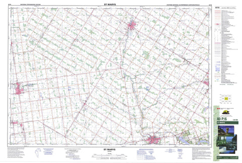
040P06 St Marys NRCAN topographic map.
Includes UTM and GPS geographic coordinates (latitude and longitude). This 50k scale map is suitable for hiking, camping, and exploring, or you could frame it as a wall map.
Printed on-demand using high resolution, on heavy weight and acid free paper, or as an upgrade on a variety of synthetic materials.
Topos available on paper, Waterproof, Poly, or Tyvek. Usually shipping rolled, unless combined with other folded maps in one order.
- Product Number: NRCAN-040P06
- Parent Topo: TOPO-040P
- Map ID also known as: 040P06, 40P6, 40P06
- Unfolded Size: Approximately 26" high by 36" wide
- Weight (paper map): ca. 55 grams
- Map Type: POD NRCAN Topographic Map
- Map Scale: 1:50,000
- Geographical region: Ontario, Canada
Neighboring Maps:
All neighboring Canadian topo maps are available for sale online at 1:50,000 scale.
Purchase the smaller scale map covering this area: Topo-040P
Spatial coverage:
Topo map sheet 040P06 St Marys covers the following places:
- Stratford - Biddulph - Blanshard - Downie - East Nissouri - East Zorra - Ellice - Fullarton - Hay - Hibbert - Huron - Logan - McGillivray - Middlesex - Nissouri - Oxford - Perth - Stephen - Tuckersmith - Usborne - West Nissouri - West Zorra - Zorra - Broadfoot Drain - Cook Drain - Hooper Drain - Mahaffy Drain - McGrath Drain - St. Pauls Drain - Tyndall Drain - Morrison Lake - Wildwood Lake - Seebach Hill - Huron - Middlesex - Oxford - Perth - Biddulph - Blanshard - Downie - East Williams - Ellice - Fullarton - Grey - Hay - Hay - Hibbert - Logan - Lucan Biddulph - McGillivray - McKillop - Mornington - North Easthope - North Middlesex - Perth East - Perth East - Perth South - South Easthope - Stanley - Stephen - Tuckersmith - Usborne - West Perth - West Williams - Williams - Zorra - Wildwood Conservation Area - Ausable River - Avon River - Bannockburn River - Bayfield River - Black Creek - Black Creek - Fish Creek - Flat Creek - Liffy Ditch - Little Ausable River - Nineteen Creek - North Thames River - Otter Creek - Trout Creek - Whirl Creek - Bluewater - Huron East - South Huron - St. Marys - St. Mary's - Anderson - Avonbank - Avonton - Brandy Point - Carlingford - Centralia - Chiselhurst - Conroy - Cromarty - Dublin - Elimville - Exeter - Farquhar - Fullarton - Hay - Hensall - Huron Park - Hurondale - Kinkora - Kirkton - Lind - Lumley - Metropolitan - Mitchell - Motherwell - Mount Pleasant - Munro - Rannoch - Rostock - Russeldale - Science Hill - Sebringville - St. Marys Junction - St. Pauls Station - Staffa - Thames Road - Wartburg - Whalen Corners - Winchelsea - Woodham


