
040P04 Parkhill Canada topo map, 1:50,000 scale
040P04 Parkhill NRCAN topographic map.
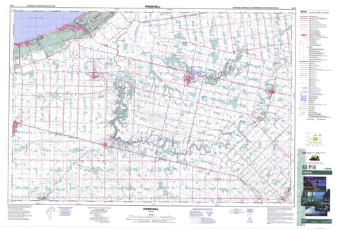
Includes UTM and GPS geographic coordinates (latitude and longitude). This 50k scale map is suitable for hiking, camping, and exploring, or you could frame it as a wall map.
Printed on-demand using high resolution, on heavy weight and acid free paper, or as an upgrade on a variety of synthetic materials.
Topos available on paper, Waterproof, Poly, or Tyvek. Usually shipping rolled, unless combined with other folded maps in one order.
- Product Number: NRCAN-040P04
- Parent Topo: TOPO-040P
- Map ID also known as: 040P04, 40P4, 40P04
- Unfolded Size: Approximately 26" high by 36" wide
- Weight (paper map): ca. 55 grams
- Map Type: POD NRCAN Topographic Map
- Map Scale: 1:50,000
- Geographical region: Ontario, Canada
Neighboring Maps:
All neighboring Canadian topo maps are available for sale online at 1:50,000 scale.
Purchase the smaller scale map covering this area: Topo-040P
Spatial coverage:
Topo map sheet 040P04 Parkhill covers the following places:
- Ipperwash Beach - Stony Point - Old Ausable Channel - Lambton Shores - Adelaide - Bosanquet - Caradoc - East Williams - Huron - Lambton - Lobo - McGillivray - Metcalfe - Middlesex - Stephen - Warwick - West Williams - Williams - Duffus Drain - Kettle Point Indian Reserve 44 - Réserve indienne Kettle Point 44 - Lac Huron - Lake Huron - Smith Lake - The Cut - Champ de tir et champ de manoeuvre Ipperwash - Ipperwash Range and Training Area - Huron - Lambton - Middlesex - Adelaide - Adelaide Metcalfe - Caradoc - Delaware - East Williams - Lobo - London - McGillivray - Metcalfe - Middlesex Centre - North Middlesex - Plympton - Stephen - Strathroy-Caradoc - Usborne - Warwick - Warwick - West Williams - Williams - Coldstream Conservation Area - Ipperwash Provincial Park - Parkhill Conservation Area - Port Franks Conservation Area - Rock Glen Conservation Area - The Pinery Provincial Park - The Pinery Provincial Park Dune Forest Wilderness Area - Thedford Conservation Area - Warwick Conservation Area - Aberarder Creek - Adelaide Creek - Ausable River - Bear Creek - Brown Creek - Decker Creek - Golden Creek - Hickory Creek - Hickory Creek - Highland Creek - Jericho Creek - Little Ausable River - Moray Creek - Mud Creek - Mud Creek - Mud Creek - Mud Creek - Nairn Creek - Parkhill Creek - Parkhill Creek - Shashawandah Creek - Sydenham River - The Old River Bed - The Ptsebe - Devil's Elbow - Bosanquet - South Huron - Adelaide - Ailsa Craig - Amiens - Arkona - Beechwood - Birnam - Bornish - Bowood - Brinsley - Coldstream - Corbett - Crathie - Dejong - Fernhill - Forest - Fort Rose - Greenway - Hickory Corner - Hutchinson - Ipperwash Beach - Jericho - Jura - Keyser - Kinnaird - Lieury - Maguire - McInnes - Moray - Nairn - Parkhill - Poplar Hill - Port Franks - Ravenswood - Sable - Springbank - Springvale - Sylvan - Thedford - Walden Place - Walker Woods - Warwick - West McGillivray - Wisbeach - Wrightmans Corners - Hungry Hollow - Thedford Marsh


