
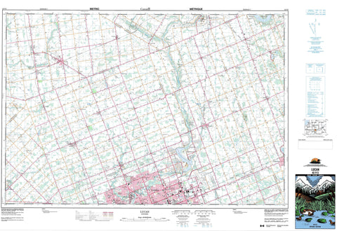
040P03 Lucan Canada topo map, 1:50,000 scale
040P03 Lucan NRCAN topographic map.
Includes UTM and GPS geographic coordinates (latitude and longitude). This 50k scale map is suitable for hiking, camping, and exploring, or you could frame it as a wall map.
Printed on-demand using high resolution, on heavy weight and acid free paper, or as an upgrade on a variety of synthetic materials.
Topos available on paper, Waterproof, Poly, or Tyvek. Usually shipping rolled, unless combined with other folded maps in one order.
- Product Number: NRCAN-040P03
- Parent Topo: TOPO-040P
- Map ID also known as: 040P03, 40P3, 40P03
- Unfolded Size: Approximately 26" high by 36" wide
- Weight (paper map): ca. 55 grams
- Map Type: POD NRCAN Topographic Map
- Map Scale: 1:50,000
- Geographical region: Ontario, Canada
Neighboring Maps:
All neighboring Canadian topo maps are available for sale online at 1:50,000 scale.
Purchase the smaller scale map covering this area: Topo-040P
Spatial coverage:
Topo map sheet 040P03 Lucan covers the following places:
- London - Biddulph - Blanshard - Dorchester - East Nissouri - East Oxford - East Zorra - Lobo - London - McGillivray - Middlesex - Nissouri - North Oxford - Oxford - Oxford - Perth - West Nissouri - West Oxford - West Zorra - Williams - Zorra - Caddy-Bott Drain - Government Drain - Fanshawe Lake - Sunova Lake - Wildwood Lake - Champ de manoeuvre Fanshawe Dam - Fanshawe Dam Training Area - Cobble Hills - Middlesex - Oxford - Perth - Biddulph - Blanshard - Delaware - Dorchester - Downie - East Nissouri - East Williams - Lobo - London - Lucan Biddulph - McGillivray - Middlesex Centre - Nissouri - Nissouri - North Dorchester - North Middlesex - North Oxford - Perth South - Thames Centre - West Nissouri - West Williams - West Zorra - Williams - Zorra - Coldstream Conservation Area - Fanshawe Conservation Area - Fish Creek Conservation Area - Lucan Conservation Area - Wildwood Conservation Area - Caddy Creek - Fish Creek - Gold Creek - Gregory Creek - Little Ausable River - Medway Creek - Medway River - Middle Thames River - Nairn Creek - Nineteen Creek - North Thames River - Oxbow Creek - Pottersburg Creek - Pottersburg Creek - Springers Creek - Stoney Creek - Sydenham River - Trout Creek - Waubuno Creek - Wye Creek - St. Marys - St. Mary's - Westminster - Arva - Ballymote - Belton - Birr - Broughdale - Brown's Corners - Bryanston - Calamity Corners - Carlisle - Cherry Grove - Clandeboye - Cobble Hill - Coldstream - Crumlin - Denfield - Devizes - Duncrief - Elginfield - Ettrick - Evelyn - Fairfield - Fallon - Fanshawe - Friendly Corners - Geary Corners - Granthurst - Granton - Greystead - Henshaw Corners - Huron Heights - Hyde Park - Ilderton - Ivan - Kelly Station - Kintore - Lakeside - Leesboro - Lind - Lobo - Lucan - Lucan Crossing - Maple Grove - Maple Lodge - Masonville - McWilliams - Medina - Medway Heights - Melrose - Mooresville - Nelson Park - Nissouri - Northcrest - Northdale - Oliver - Orchard Park - Pasadena - Plover Mills - Pottersburg - Prospect Hill - Rebecca - Salmonville - Sherwood Forest - Southgate - St. Ives - Stoneybrook - Telfer - Thamesford - The Grove - Thorndale - Three Bridges - Uniondale - Uplands - Vanneck - Wellburn - White Hills - Wildwood - Wyton Station - Falkirk


