
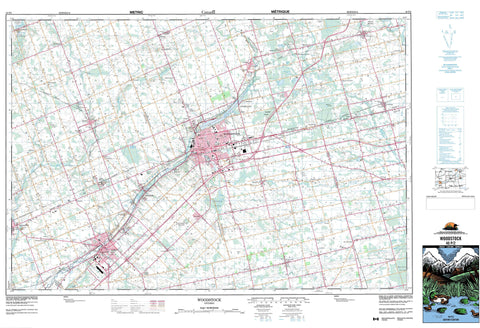
040P02 Woodstock Canada topo map, 1:50,000 scale
040P02 Woodstock NRCAN topographic map.
Includes UTM and GPS geographic coordinates (latitude and longitude). This 50k scale map is suitable for hiking, camping, and exploring, or you could frame it as a wall map.
Printed on-demand using high resolution, on heavy weight and acid free paper, or as an upgrade on a variety of synthetic materials.
Topos available on paper, Waterproof, Poly, or Tyvek. Usually shipping rolled, unless combined with other folded maps in one order.
- Product Number: NRCAN-040P02
- Parent Topo: TOPO-040P
- Map ID also known as: 040P02, 40P2, 40P02
- Unfolded Size: Approximately 26" high by 36" wide
- Weight (paper map): ca. 55 grams
- Map Type: POD NRCAN Topographic Map
- Map Scale: 1:50,000
- Geographical region: Ontario, Canada
Neighboring Maps:
All neighboring Canadian topo maps are available for sale online at 1:50,000 scale.
Purchase the smaller scale map covering this area: Topo-040P
Spatial coverage:
Topo map sheet 040P02 Woodstock covers the following places:
- Brant - Brant-on-the-Grand - Woodstock - Vansittart Woods - Blandford - Blenheim - Brant - Burford - Dereham - Dorchester - East Nissouri - East Oxford - East Zorra - Middlesex - Nissouri - North Dorchester - North Norwich - North Oxford - Norwich - Oxford - Oxford - South Norwich - West Nissouri - West Oxford - West Zorra - Zorra - Elliott Drain - Hall Drain - Hamilton-Lochart Drain - Harley Drain - Hatchley Drain - Lowes-Amey Drain - McClellan Drain - Oles-Carder Drain - Tree-Radford Drain - Buchanan Lake - Buck Pond - Burgess Lake - Centreville Pond - Colles Lake - Cooley Pond - Embro Pond - Fowlers Pond - Harrington Pond - Hodges Pond - Lockhart Pond - Maple Lake - Maplehurst Lake - Park Haven Lake - Pine Pond - Trotters Lake - Trout Lake - Wildwood Lake - Wolverton Mountain - Brant - Middlesex - Oxford - Blandford - Blandford-Blenheim - Blandford-Blenheim - Blenheim - Brantford - Burford - Dereham - Dorchester - Dumfries - East Nissouri - East Oxford - East Zorra - East Zorra-Tavistock - East Zorra-Tavistock - Nissouri - Nissouri - North Dorchester - North Norwich - North Oxford - Norwich - Oakland - Onondaga - South Dumfries - South Norwich - South-West Oxford - South-West Oxford - South-West Oxford - Thames Centre - West Nissouri - West Oxford - West Zorra - Zorra - Centreville Conservation Area - Trillium Woods Provincial Nature Reserve - Trillium Woods Provincial Park - Wildwood Conservation Area - Big Creek - Big Otter Creek - Cedar Creek - Foldens Creek - Horner Creek - Kenny Creek - Middle Thames River - Mud Creek - Mud Creek - Nissouri Creek - Nith River - North Branch Creek - Otter Creek - Phelan Creek - Reynolds Creek - Rivière Thames - Thames River - Trout Creek - Whitemans Creek - Ingersoll - Westminster - Banner - Beachville - Beaconsfield - Bennington - Blandford - Blandford Station - Bond's Corners - Braemar - Brooksdale - Burgessville - Cathcart - Centreville - Coakley - Cody's Corners - Creditville - Curries - Dicksons Corners - Dorland - Drumbo - Dunn's Corner - Eastwood - Embro - Folden Corners - Foldens - Forest Estates - Gobles - Golspie - Hagles Corners - Harrington - Harrington West - Hatchley - Hatchley Station - Hickson - Holbrook - Holiday - Huntingford - Innerkip - Maple Lake Park - McConkey - Muir - New Durham - New Durham Station - Oriel - Oxford Centre - Perrys Lane - Princeton - Rayside - Richwood - Showers Corners - South Zorra - Strathallan - Sweaburg - Thamesford - Tollgate - Vandecar - Walmer - Willow Lake - Windfall - Youngsville - Zorra - Zorra Station - Benwell Swamp - Hatchley Swamp - Sweaburg Swamp


