
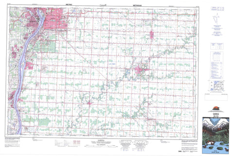
040J16 Sarnia Canada topo map, 1:50,000 scale
040J16 Sarnia NRCAN topographic map.
Includes UTM and GPS geographic coordinates (latitude and longitude). This 50k scale map is suitable for hiking, camping, and exploring, or you could frame it as a wall map.
Printed on-demand using high resolution, on heavy weight and acid free paper, or as an upgrade on a variety of synthetic materials.
Topos available on paper, Waterproof, Poly, or Tyvek. Usually shipping rolled, unless combined with other folded maps in one order.
- Product Number: NRCAN-040J16
- Parent Topo: TOPO-040J
- Map ID also known as: 040J16, 40J16
- Unfolded Size: Approximately 26" high by 36" wide
- Weight (paper map): ca. 55 grams
- Map Type: POD NRCAN Topographic Map
- Map Scale: 1:50,000
- Geographical region: Ontario, Canada
Neighboring Maps:
All neighboring Canadian topo maps are available for sale online at 1:50,000 scale.
Purchase the smaller scale map covering this area: Topo-040J
Spatial coverage:
Topo map sheet 040J16 Sarnia covers the following places:
- Sarnia Bay - Sarnia Harbour - Bay Point - Frog Point - Sarnia - Sarnia-Clearwater - Brooke - Dawn - Enniskillen - Euphemia - Lambton - Moore - Plympton - Sarnia - Sombra - Warwick - Zone - Burton Drain - Coyle Drain - McDonald Drain - Stonehouse Drain - Réserve indienne Sarnia 45 - Sarnia 45 - Sarnia Indian Reserve 45 - Stag Island - Lambton - Brooke - Brooke-Alvinston - Dawn - Dawn-Euphemia - Enniskillen - Enniskillen - Euphemia - Moore - Plympton - Sombra - St. Clair - Warwick - Ontario - Baby Creek - Bear Creek - Black Creek - Bonnie Doon Creek - Bowens Creek - Buttermilk Creek - Clay Creek - Cow Creek - Crooked Creek - Fox Creek - Indian Creek - Jarvis Creek - Little Bear Creek - Marsh Creek - Nichol Creek - Perch Creek - Perch Creek - Plum Creek - Pulse Creek - Rivière Sainte-Claire - St. Clair River - Talford Creek - Talfourd Creek - Waddell Creek - Clearwater - Petrolia - Plympton-Wyoming - Avonry - Bickford - Bradshaw - Brigden - Bunyan - Colinville - Copleston - Corey - Coronation Park - Corunna - Courtright - Crescent Park - Cromar - Fourth Line - Froomfield - Glen Rae - Grandview Park - High Park - Holmesdale - Kertch - Kimball - Ladysmith - Logierait - Lucasville - Mandamin - Mandaumin - Marthaville - Moore Centre - Mooretown - Oil City - Osborne - Ossian - Payne - Petrolia Junction - Reeces Corners - Seckerton - Sherwood Village - Sykeston - Wanstead - Waubuno - Weidmann - Wheeler - Wilson Croft - Wiltshire Park - Woodland - Wyoming - Moore - Oil Springs - Point Edward


