
040J07 Belle River Canada topo map, 1:50,000 scale
040J07 Belle River NRCAN topographic map.
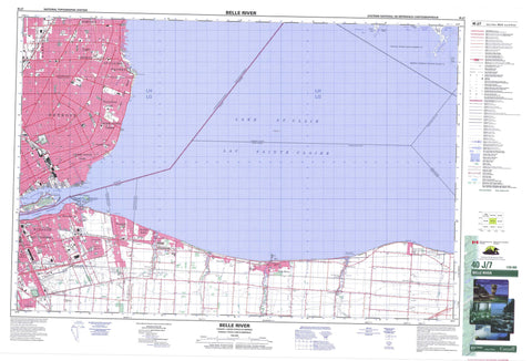
Includes UTM and GPS geographic coordinates (latitude and longitude). This 50k scale map is suitable for hiking, camping, and exploring, or you could frame it as a wall map.
Printed on-demand using high resolution, on heavy weight and acid free paper, or as an upgrade on a variety of synthetic materials.
Topos available on paper, Waterproof, Poly, or Tyvek. Usually shipping rolled, unless combined with other folded maps in one order.
- Product Number: NRCAN-040J07
- Parent Topo: TOPO-040J
- Map ID also known as: 040J07, 40J7, 40J07
- Unfolded Size: Approximately 26" high by 36" wide
- Weight (paper map): ca. 55 grams
- Map Type: POD NRCAN Topographic Map
- Map Scale: 1:50,000
- Geographical region: Ontario, Canada
Neighboring Maps:
All neighboring Canadian topo maps are available for sale online at 1:50,000 scale.
Purchase the smaller scale map covering this area: Topo-040J
Spatial coverage:
Topo map sheet 040J07 Belle River covers the following places:
- Bass Bay - Johnston Bay - Walpole Bay - Askins Point - Stoney Point - Stony Point - Chematogan Channel - Fleming Channel - Johnston Channel - Chatham-Kent - Windsor - Dover - Kent - Lambton - Maidstone - Rochester - Sandwich - Sandwich East - Sandwich South - Sandwich West - Sombra - Tilbury North - Tilbury West - Réserve indienne Walpole Island 46 - Walpole Island Indian Reserve 46 - Bassett Island - Grassy Bend Island - Grassy Bend Islands - Île aux Pêches - Peach Island - Peche Island - Squirrel Island - Walpole Island - Lac Sainte-Claire - Lake St. Clair - Essex - Kent - Lambton - Camden - Chatham - Dover - Harwich - Howard - Maidstone - Orford - Raleigh - Rochester - Romney - Sandwich - Sandwich - Sandwich East - Sandwich East - Sandwich South - Tilbury East - Tilbury North - Tilbury West - Zone - Tremblay Beach Conservation Area - Ontario - Bassett Channel - Belle River - Belle Rivière - Detroit River - Duck Creek - Little River - Major Creek - Moison Creek - Pike Creek - Puce River - Rivière aux Puces - Rivière Détroit - Rivière Ruscom - Ruscom River - Stover Creek - Tremblay Creek - Turkey Creek - Ford City - Lakeshore - Tecumseh - Belle River - Deerbrook - East Windsor - Elmstead - Emeryville - Fairplay - Fontainebleau - Forest Glade - Haycroft - Pike Creek - Pointe-aux-Roches - Puce - Riverside - Roseland - South Walkerville - St. Clair Beach - St. Joachim - St. Joachim Station - Stoney Point - Stoney Point/Pointe-aux-Roches - Tecumseh - Walkerville - Walkerville Junction - Windsor-Walkerville


