
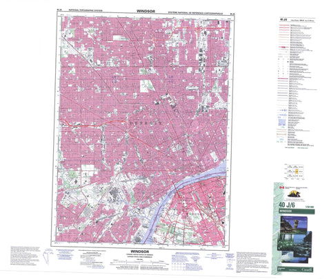
040J06 Windsor Canada topo map, 1:50,000 scale
040J06 Windsor NRCAN topographic map.
Includes UTM and GPS geographic coordinates (latitude and longitude). This 50k scale map is suitable for hiking, camping, and exploring, or you could frame it as a wall map.
Printed on-demand using high resolution, on heavy weight and acid free paper, or as an upgrade on a variety of synthetic materials.
Topos available on paper, Waterproof, Poly, or Tyvek. Usually shipping rolled, unless combined with other folded maps in one order.
- Product Number: NRCAN-040J06
- Parent Topo: TOPO-040J
- Map ID also known as: 040J06, 40J6, 40J06
- Unfolded Size: Approximately 26" high by 36" wide
- Weight (paper map): ca. 55 grams
- Map Type: POD NRCAN Topographic Map
- Map Scale: 1:50,000
- Geographical region: Ontario, Canada
Neighboring Maps:
All neighboring Canadian topo maps are available for sale online at 1:50,000 scale.
Purchase the smaller scale map covering this area: Topo-040J
Spatial coverage:
Topo map sheet 040J06 Windsor covers the following places:
- Fleming Channel - Windsor - Sandwich - Sandwich East - Sandwich South - Sandwich West - Essex - Sandwich - Sandwich - Sandwich East - Sandwich West - Ojibway Prairie Provincial Nature Reserve - Ontario - Detroit River - Rivière Détroit - Turkey Creek - Ford City - LaSalle - Bridgeview - Brighton Beach - East Windsor - Ojibway - Remington Park - Sandwich - South Walkerville - South Windsor - Southlawn - Sutherland - Walkerville - Yawkey


