
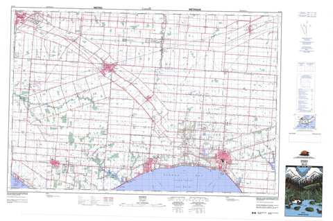
040J02 Essex Canada topo map, 1:50,000 scale
040J02 Essex NRCAN topographic map.
Includes UTM and GPS geographic coordinates (latitude and longitude). This 50k scale map is suitable for hiking, camping, and exploring, or you could frame it as a wall map.
Printed on-demand using high resolution, on heavy weight and acid free paper, or as an upgrade on a variety of synthetic materials.
Topos available on paper, Waterproof, Poly, or Tyvek. Usually shipping rolled, unless combined with other folded maps in one order.
- Product Number: NRCAN-040J02
- Parent Topo: TOPO-040J
- Map ID also known as: 040J02, 40J2, 40J02
- Unfolded Size: Approximately 26" high by 36" wide
- Weight (paper map): ca. 55 grams
- Map Type: POD NRCAN Topographic Map
- Map Scale: 1:50,000
- Geographical region: Ontario, Canada
Neighboring Maps:
All neighboring Canadian topo maps are available for sale online at 1:50,000 scale.
Purchase the smaller scale map covering this area: Topo-040J
Spatial coverage:
Topo map sheet 040J02 Essex covers the following places:
- Pigeon Bay - Belle Point - Windsor - Colchester - Colchester North - Colchester South - Essex - Gosfield - Gosfield North - Gosfield South - Maidstone - Malden - Mersea - Rochester - Sandwich - Sandwich East - Sandwich South - Sandwich West - Tilbury North - Tilbury West - McClean Drain - Richmond Drain - Cedar Island - Lac Érié - Lake Erie - Essex - Anderdon - Colchester - Colchester North - Colchester South - Gosfield - Gosfield North - Gosfield South - Maidstone - Malden - Mersea - Rochester - Sandwich - Sandwich - Sandwich East - Sandwich South - Sandwich West - Tilbury North - Tilbury West - Belle River - Belle Rivière - Canard River - Cedar Creek - Dolson's Creek - Duck Creek - Fox Creek - Hillman Creek - Little River - Mill Creek - Moison Creek - Muddy Creek - Pike Creek - Puce River - Rivière aux Canards - Rivière aux Puces - Rivière Ruscom - Ruscom River - Stink Creek - Sturgeon Creek - Tremblay Creek - Wigle Creek - Amherstburg - Essex - Kingsville - Lakeshore - LaSalle - Leamington - Tecumseh - Albuna - Ambassador Beach - Arner - Barretville - Belcreft Beach - Blytheswood - Byrnedale - Cedar Beach - Cedarhurst Park - Cherry Lane Estates - Comber - Comet - Cottam - East Harrow - Edgars - Elford - Erie Curve - Essex - Gesto - Goldsmith - Harrow - Hillman - Kingsville - Klondyke - Leamington - Levergood Beach - Linden Beach - Lypps Beach - Maidstone - Marshfield - McGregor - McGregor Junction - Mount Carmel - New California - New Canaan - North Ridge - North Woodslee - Oakland - Oldcastle - Olinda - Oliver - Paquette - Paquette Corners - Pelton - Pleasant Park - Pleasant Valley - Rosslyn - Ruscom Station - Ruthven - Seacliffe - Seymour Beach - Sinasac Corners - South Windsor - South Woodslee - Staples - Strangfield - Tecumseh - Union - Vereker - Viney - Wigle - Woodslee - Hillman Marsh - Essex Centre


