
040I16 Simcoe Canada topo map, 1:50,000 scale
040I16 Simcoe NRCAN topographic map.
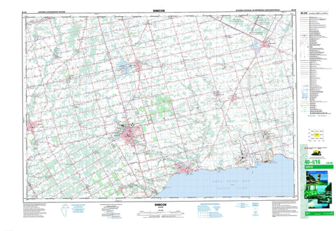
Includes UTM and GPS geographic coordinates (latitude and longitude). This 50k scale map is suitable for hiking, camping, and exploring, or you could frame it as a wall map.
Printed on-demand using high resolution, on heavy weight and acid free paper, or as an upgrade on a variety of synthetic materials.
Topos available on paper, Waterproof, Poly, or Tyvek. Usually shipping rolled, unless combined with other folded maps in one order.
- Product Number: NRCAN-040I16
- Parent Topo: TOPO-040I
- Map ID also known as: 040I16, 40I16
- Unfolded Size: Approximately 26" high by 36" wide
- Weight (paper map): ca. 55 grams
- Map Type: POD NRCAN Topographic Map
- Map Scale: 1:50,000
- Geographical region: Ontario, Canada
Neighboring Maps:
All neighboring Canadian topo maps are available for sale online at 1:50,000 scale.
Purchase the smaller scale map covering this area: Topo-040I
Spatial coverage:
Topo map sheet 040I16 Simcoe covers the following places:
- Long Point Bay - Nanticoke Harbour - Coleman's Point - Kitchen's Point - Woolley's Point - Brant - Brant-on-the-Grand - Haldimand - Haldimand County - Nanticoke - Nanticoke - Norfolk - Norfolk County - Brant - Burford - Charlotteville - Delhi - Haldimand - Middleton - Norfolk - North Cayuga - North Walsingham - Oneida - Oxford - Oxford - South Cayuga - South Walsingham - Townsend - Tuscarora - Walpole - Walsingham - Windham - Woodhouse - Harrop Drain - New Credit 40A - New Credit Indian Reserve 40A - Réserve indienne New Credit 40A - Réserve indienne Six Nations 40 - Six Nations Indian Reserve 40 - Goosey Island - Crystal Lake - Lac Érié - Lake Erie - Lake Hunger - Mill Pond - Silver Lake - Sutton's Pond - Waterford Pond - Waterford Ponds - Brant - Haldimand - Haldimand-Norfolk - Norfolk - Oxford - Brantford - Burford - Canborough - Charlotteville - Delhi - Dumfries - Dunn - Houghton - Middleton - Moulton - Norfolk - North Cayuga - North Walsingham - Oakland - Oneida - Onondaga - Rainham - Seneca - Sherbrooke - South Cayuga - South Dumfries - South Walsingham - Townsend - Walpole - Walsingham - Windham - Woodhouse - Norfolk Conservation Area - Big Creek - Black Creek - Boston Creek - Brandy Creek - Catfish Creek - Davis Creek - Dedrick's Creek - Dingle Creek - Dry Creek - Faurie's Creek - Hay Creek - Hickory Creek - Kent Creek - Lynn River - Lynn River - Mud Creek - Nanticoke Creek - Patterson Creek - Rogers Creek - Sandusk Creek - Spring Creek - Spring Creek - Stoney Creek - Stony Creek - Trout Creek - Young Creek - Young's Creek - Dunnville - Haldimand - Atherton - Avalon Park - Bealton - Bill's Corners - Bill's Corners - Blayney - Bloomsburg - Boston - Brandy Creek - Colborne - Crescent Bay - Delhi - Dogs Nest - Dundern - Dundurn - Ellaton - Erie - Garnet - Gilbertville - Glenshee - Greens Corner - Hagersville - Halfway Corner - Halfway House Corner - Hickory Beach - Hillcrest - Jarvis - Keadon Park - Kelvin - La Salette - Lambs Corners - Lutesville - Lynedoch - Lynn Valley - Lynnville - Marburg - Marr's Hollow - Nanticoke - New Credit - Nixon - Nober - Oneida - Pine Grove - Port Dover - Port Ryerse - Powells Corners - Ranelagh - Rattlesnake Harbour - Renton - Rockford - Round Plains - Sandusk - Sandy Cove - Shand Corner - Shands Corner - Shand's Corner - Silver Hill - Simcoe - Simcoe Junction - Springvale - Sprucedale - Teeterville - Townsend - Townsend Centre - Tyrrell - Vanessa - Vanessa Station - Varency - Vaughan Survey - Villa Nova - Vittoria - Walsh - Waterford - White Oaks Village - Wilsonville - Windham - Windham Centre - Woodhouse Acres - Doan's Hollow - Marr's Hollow


