
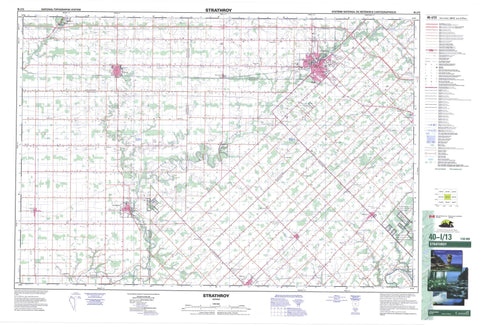
040I13 Strathroy Canada topo map, 1:50,000 scale
040I13 Strathroy NRCAN topographic map.
Includes UTM and GPS geographic coordinates (latitude and longitude). This 50k scale map is suitable for hiking, camping, and exploring, or you could frame it as a wall map.
Printed on-demand using high resolution, on heavy weight and acid free paper, or as an upgrade on a variety of synthetic materials.
Topos available on paper, Waterproof, Poly, or Tyvek. Usually shipping rolled, unless combined with other folded maps in one order.
- Product Number: NRCAN-040I13
- Parent Topo: TOPO-040I
- Map ID also known as: 040I13, 40I13
- Unfolded Size: Approximately 26" high by 36" wide
- Weight (paper map): ca. 55 grams
- Map Type: POD NRCAN Topographic Map
- Map Scale: 1:50,000
- Geographical region: Ontario, Canada
Neighboring Maps:
All neighboring Canadian topo maps are available for sale online at 1:50,000 scale.
Purchase the smaller scale map covering this area: Topo-040I
Spatial coverage:
Topo map sheet 040I13 Strathroy covers the following places:
- Adelaide - Brooke - Caradoc - Dunwich - Ekfrid - Elgin - Euphemia - Lambton - Lobo - Metcalfe - Middlesex - Mosa - Warwick - Zone - Caradoc Indian Reserve 42 - Chippewas of the Thames First Nation Indian Reserve 42 - Munsee-Delaware Nation Indian Reserve 1 - Réserve indienne Caradoc 42 - Réserve indienne Chippewas of the Thames First Nation 42 - Réserve indienne Munsee-Delaware Nation 1 - Elgin - Lambton - Middlesex - Adelaide - Adelaide Metcalfe - Brooke - Brooke-Alvinston - Caradoc - Dawn - Dawn-Euphemia - Delaware - Dunwich - Dutton/Dunwich - Ekfrid - Euphemia - Lobo - London - Metcalfe - Middlesex Centre - Mosa - Southwest Middlesex - Strathroy-Caradoc - Warwick - Warwick Conservation Area - Adelaide Creek - Bear Creek - Big Munday Creek - Brown Creek - Gentleman Creek - Gold Creek - Hardy Creek - Hogg Creek - Little Bear Creek - Morrogh Creek - Mud Creek - Newbiggen Creek - Rivière Thames - Sydenham River - Thames River - Aberfeldy - Alvinston - Appin - Appin Junction - Appin Station - Aughrim - Cairngorm - Caradoc - Ekfrid - Falconbridge - Glen Oak - Glencoe - Glencoe Station - Grays - Inwood - Kerwood - Kilmartin - Kingscourt - Lewis Corners - Longwood - Macksville - Mayfair - Melbourne - Mount Brydges - Mullifarry - Napier - Napperton - North Appin Station - North Ekfrid - North Glencoe Station - Riverside - Rokeby - Shields - Springfield - Strathroy - Sutorville - Walkers - Walnut - Watford


