
040I12 Bothwell Canada topo map, 1:50,000 scale
040I12 Bothwell NRCAN topographic map.
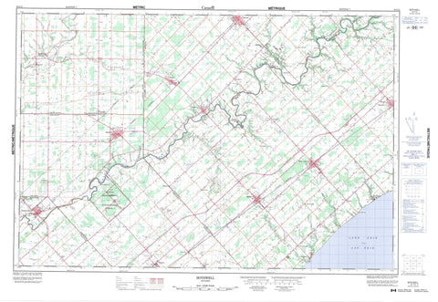
Includes UTM and GPS geographic coordinates (latitude and longitude). This 50k scale map is suitable for hiking, camping, and exploring, or you could frame it as a wall map.
Printed on-demand using high resolution, on heavy weight and acid free paper, or as an upgrade on a variety of synthetic materials.
Topos available on paper, Waterproof, Poly, or Tyvek. Usually shipping rolled, unless combined with other folded maps in one order.
- Product Number: NRCAN-040I12
- Parent Topo: TOPO-040I
- Map ID also known as: 040I12, 40I12
- Unfolded Size: Approximately 26" high by 36" wide
- Weight (paper map): ca. 55 grams
- Map Type: POD NRCAN Topographic Map
- Map Scale: 1:50,000
- Geographical region: Ontario, Canada
Neighboring Maps:
All neighboring Canadian topo maps are available for sale online at 1:50,000 scale.
Purchase the smaller scale map covering this area: Topo-040I
Spatial coverage:
Topo map sheet 040I12 Bothwell covers the following places:
- Chatham-Kent - Aldborough - Camden - Dunwich - Ekfrid - Elgin - Euphemia - Howard - Kent - Lambton - Middlesex - Mosa - Orford - Zone - Cruickshank Drain - Dubs Drain - Julian Drain - McCargon Drain - Morden Drain - Moravian 47 - Moravian Indian Reserve 47 - Réserve indienne Moravian 47 - Lac Érié - Lake Erie - The Mill Pond - Elgin - Kent - Lambton - Middlesex - Aldborough - Camden - Chatham - Dawn - Dawn-Euphemia - Dover - Dunwich - Dutton/Dunwich - Ekfrid - Euphemia - Harwich - Howard - Mosa - Orford - Raleigh - Romney - Southwest Middlesex - Tilbury East - West Elgin - Zone - Battle Hill National Historic Site of Canada - Lieu historique national du Canada de la Colline-de-la-Bataille - Battle Hill Creek - Brock Creek - Brocks Creek - Cornwall Creek - Donkey Creek - Fansher Creek - Fleming Creek - Gentleman Creek - Haggerty Creek - McKay Creek - Newbiggen Creek - Ox Creek - Paint Creek - Rivière Thames - Sixteenmile Creek - Sydenham River - Thames River - The Big Bend - Aldborough - Bothwell - Bothwell Station - Cairo - Campbellton - Churchville - Clachan - Crinan - Duart - Dutton - Eagle - Ferndell - Glencoe - Highgate - Kintyre - Knapdale - Largie - McCready - Moraviantown - Mosside - Muirkirk - New Glasgow - Newbury Station - North Thamesville - Port Glasgow - Rodney - Selton - Shetland - Smiths Falls - Strathburn - Tate Corners - Thamesville - Turin - Wardsville - West Lorne - Woodgreen - Newbury


