
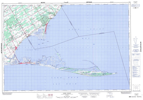
040I09 Long Point Canada topo map, 1:50,000 scale
040I09 Long Point NRCAN topographic map.
Includes UTM and GPS geographic coordinates (latitude and longitude). This 50k scale map is suitable for hiking, camping, and exploring, or you could frame it as a wall map.
Printed on-demand using high resolution, on heavy weight and acid free paper, or as an upgrade on a variety of synthetic materials.
Topos available on paper, Waterproof, Poly, or Tyvek. Usually shipping rolled, unless combined with other folded maps in one order.
- Product Number: NRCAN-040I09
- Parent Topo: TOPO-040I
- Map ID also known as: 040I09, 40I9, 40I09
- Unfolded Size: Approximately 26" high by 36" wide
- Weight (paper map): ca. 55 grams
- Map Type: POD NRCAN Topographic Map
- Map Scale: 1:50,000
- Geographical region: Ontario, Canada
Neighboring Maps:
All neighboring Canadian topo maps are available for sale online at 1:50,000 scale.
Purchase the smaller scale map covering this area: Topo-040I
Spatial coverage:
Topo map sheet 040I09 Long Point covers the following places:
- Big Rice Bay - Coletta Bay - Doctors Inlet - Doctors Inlet - Gravelly Bay - Inner Bay - Little Bay - Little Rice Bay - Long Point Bay - Rice Bay - South Bay - Sturgeon Bay - Big Rice Bay Point - Bluff Point - Bob Wood's Point - Deep Hole Point - Indian Creek Point - Little Rice Bay Point - Long Point - Old Cut Point - Pottohawk Point - Thoroughfare Point - Turkey Point - Beckers Channel - First Island Outlet - Hastings Channel - Irish Channel - Old Cut - Second Island Outlet - Wood Duck Alley - Haldimand County - Nanticoke - Norfolk - Norfolk County - Charlotteville - Delhi - Norfolk - North Walsingham - South Walsingham - Walsingham - Ryersons Island - Second Island - Snow Island - Whitefish Bar Island - Anderson Pond - Bluff Pond - Bouck Pond - Duncan's Pond - Helmer's Pond - Island Pond - Lac Érié - Lake Erie - Long Pond - Mallards Pond - Nigger Pond - Peter's Pond - Second Island Pond - Shanty Pond - Umbrella Pond - Allen's Ridge - Burnt Ridges - Cedar Creek Ridge - Courtright Ridge - Courtright Ridge - Little Creek Ridges - Nigger Pond Ridge - Oak Ridges - Otter Ridge - Squires Ridge - The Home - Townsend Ridge - Haldimand-Norfolk - Charlotteville - Delhi - Houghton - Middleton - Norfolk - North Walsingham - South Walsingham - Townsend - Walsingham - Windham - Woodhouse - Backus Conservation Area - Big Creek National Wildlife Area - Fisher-Cornell Conservation Area - Long Point National Wildlife Area - Long Point Provincial Park - Norfolk Conservation Area - Réserve nationale de faune de LongPoint - Réserve nationale de faune du ruisseau Big Creek - St. Williams Conservation Reserve - Turkey Point Provincial Park - Turkey Point Wilderness Area - Alex Channel - Big Creek - Cedar Creek - Cottage Creek - Cranes Creek - Dedrich Creek - Dedrick Creek - Dedrick's Creek - Deep Creek - Deep Springs - Dickinson Creek - False Jeremy's - Fishers Creek - Forestville Creek - Indian Creek - Jeremy's Creek - Little Creek - Mud Creek - Normandale Creek - Old Creek - Sawlog Creek - Scofie's Creek - Velocity Creek - Willow Creek - Bluff Bar - Nanticoke Shoal - Whitefish Bar - Fishers Glen - Forestville - Long Point - Long Point Beach - Normandale - Old Cut - Port Rowan - Port Royal - St. Williams - The Cottages - Turkey Point - Ungers Corner - Walsh - Spooky Hollow - Big Creek Marsh - Bluff Marsh - Lee Brown Marsh - Sunk Marsh - Turkey Point Marsh


