
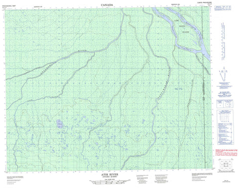
032L13 Atik River Canada topo map, 1:50,000 scale
032L13 Atik River NRCAN topographic map.
Includes UTM and GPS geographic coordinates (latitude and longitude). This 50k scale map is suitable for hiking, camping, and exploring, or you could frame it as a wall map.
Printed on-demand using high resolution, on heavy weight and acid free paper, or as an upgrade on a variety of synthetic materials.
Topos available on paper, Waterproof, Poly, or Tyvek. Usually shipping rolled, unless combined with other folded maps in one order.
- Product Number: NRCAN-032L13
- Parent Topo: TOPO-032L
- Map ID also known as: 032L13, 32L13
- Unfolded Size: Approximately 26" high by 36" wide
- Weight (paper map): ca. 55 grams
- Map Type: POD NRCAN Topographic Map
- Map Scale: 1:50,000
- Geographical region: Ontario, Canada
Neighboring Maps:
All neighboring Canadian topo maps are available for sale online at 1:50,000 scale.
Purchase the smaller scale map covering this area: Topo-032L
Spatial coverage:
Topo map sheet 032L13 Atik River covers the following places:
- Ministikawatin Peninsula - Cochrane - Low Shoal Island - Kesagami Provincial Park - Again River - Atick River - Atik River - Bodell River - Corner River - Harricanaw River - Harvey Creek - Kachigaskotik Creek - Kesagami River - Kwastigam Creek - Lawagamau River - Little Seal River - Lowakamistik River - Pesekanaskoskau River - Rivière Again - Rivière Harricana - Seal River - Shashiskau River


