
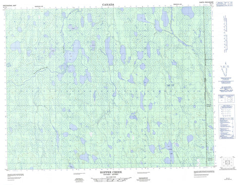
032L04 Hopper Creek Canada topo map, 1:50,000 scale
032L04 Hopper Creek NRCAN topographic map.
Includes UTM and GPS geographic coordinates (latitude and longitude). This 50k scale map is suitable for hiking, camping, and exploring, or you could frame it as a wall map.
Printed on-demand using high resolution, on heavy weight and acid free paper, or as an upgrade on a variety of synthetic materials.
Topos available on paper, Waterproof, Poly, or Tyvek. Usually shipping rolled, unless combined with other folded maps in one order.
- Product Number: NRCAN-032L04
- Parent Topo: TOPO-032L
- Map ID also known as: 032L04, 32L4, 32L04
- Unfolded Size: Approximately 26" high by 36" wide
- Weight (paper map): ca. 55 grams
- Map Type: POD NRCAN Topographic Map
- Map Scale: 1:50,000
- Geographical region: Ontario, Canada
Neighboring Maps:
All neighboring Canadian topo maps are available for sale online at 1:50,000 scale.
Purchase the smaller scale map covering this area: Topo-032L
Spatial coverage:
Topo map sheet 032L04 Hopper Creek covers the following places:
- Cochrane - Massicotte - Anderson Lake - Bayly Lake - Bevan Lake - Broughton Lake - Christie Lake - Cotter Lake - Easter Lake - Favell Lake - Hopper Lake - Jack Lake - Kitchin Lake - Lac Grady - Lac Magé - Lindbergh Lake - McAlpine Lake - Miles Lake - Milne Lake - Parson Lake - Pataneyau Lake - Sunday Lake - Thomas Lake - Shashiskau Hills - Again River - Easter Creek - Hopper Creek - Jack Creek - Lawagamau River - Ruisseau Pimidjigamaci - Sunday Creek


