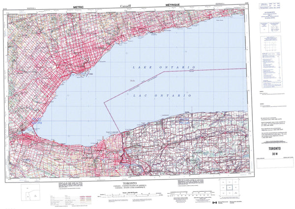
032D12 Lightning River Canada topo map, 1:50,000 scale
032D12 Lightning River NRCAN topographic map.
Includes UTM and GPS geographic coordinates (latitude and longitude). This 50k scale map is suitable for hiking, camping, and exploring, or you could frame it as a wall map.
Printed on-demand using high resolution, on heavy weight and acid free paper, or as an upgrade on a variety of synthetic materials.
Topos available on paper, Waterproof, Poly, or Tyvek. Usually shipping rolled, unless combined with other folded maps in one order.
- Product Number: NRCAN-032D12
- Parent Topo: TOPO-032D
- Map ID also known as: 032D12, 32D12
- Unfolded Size: Approximately 26" high by 36" wide
- Weight (paper map): ca. 55 grams
- Map Type: POD NRCAN Topographic Map
- Map Scale: 1:50,000
- Geographical region: Ontario, Canada
Neighboring Maps:
All neighboring Canadian topo maps are available for sale online at 1:50,000 scale.
Purchase the smaller scale map covering this area: Topo-032D
Spatial coverage:
Topo map sheet 032D12 Lightning River covers the following places:
- Baie Boundary - Baie chez Lepage - Baie Nepawa - Baie Okikodoski - Boundary Bay - Ghost River Bay - Lightning Bay - Lower Bay - Makua Bay - O'Brien Bay - Okikodosik Bay - South Bay - Iroquois Point - Lightning Point - McDougal Point - Partridge Point - Pointe Boundary - Pointe Obinaga - Squaw Point - Okikodosik Narrows - Passe à Delisle - The Narrows - Bonis - Frecheville - Garrison - Harker - Hébécourt - Holloway - Lamplugh - Marriott - Rand - Roquemaure - Stoughton - Abitibi 70 - Abitibi Indian Reserve 70 - Réserve indienne Abitibi 70 - Black Island - Burnt Island - Burnt Islands - Deer Island - Dent Island - Dominion Island - Île Kénosha - Île Nepawa - Kenosha Island - Mistaken Islands - Poplar Island - St. Patrick Island - Carlyle Lake - Checklin Lake - Collins Lake - Defoe Lake - Holloway Lake - Lac Abitibi - Lac Abitibi - Lac des Tabitibis - Lac Piscoutagami - Lac Piscoutagamy - Lake Abitibi - Lake Abitibi - Lightning Lake - Reeves Lake - Trollope Lake - Twin Lakes - Wagoshi Lake - Yelle Lake - Burnt Hill - Ghost Range - Lightning Mountain - Mount Goldsmith - Mount Smollett - Abitibi Lake Narrows Wilderness Area - McDougal Point Peninsula Conservation Reserve - Cours d'eau Mainville - Garrison Creek - Ghost River - Kechewaig Creek - Lightning River - Low Creek - Makua Creek - Mattawasaga River - McCool Creek - Rivière du Québec - Swampy Creek - Thackeray Creek - Speight Rock - Teddy Bear Marsh

