
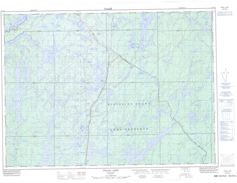
031L13 Ingall Lake Canada topo map, 1:50,000 scale
031L13 Ingall Lake NRCAN topographic map.
Includes UTM and GPS geographic coordinates (latitude and longitude). This 50k scale map is suitable for hiking, camping, and exploring, or you could frame it as a wall map.
Printed on-demand using high resolution, on heavy weight and acid free paper, or as an upgrade on a variety of synthetic materials.
Topos available on paper, Waterproof, Poly, or Tyvek. Usually shipping rolled, unless combined with other folded maps in one order.
- Product Number: NRCAN-031L13
- Parent Topo: TOPO-031L
- Map ID also known as: 031L13, 31L13
- Unfolded Size: Approximately 26" high by 36" wide
- Weight (paper map): ca. 55 grams
- Map Type: POD NRCAN Topographic Map
- Map Scale: 1:50,000
- Geographical region: Ontario, Canada
Neighboring Maps:
All neighboring Canadian topo maps are available for sale online at 1:50,000 scale.
Purchase the smaller scale map covering this area: Topo-031L
Spatial coverage:
Topo map sheet 031L13 Ingall Lake covers the following places:
- Amphibolite Bay - Cross Bay - Dewy Bay - Leonard Inlet - Northeast Arm - Northwest Bay - Shiningwood Bay - Southeast Bay - Southwest Bay - Rabbit Point - Mackenzie Narrows - Angus - Askin - Briggs - Burnaby - Eldridge - Flett - Gooderham - Hartle - Hebert - Kenny - La Salle - Law - McCallum - Milne - Nipissing - Olive - Riddell - Sisk - Strathcona - Torrington - Yates - Boat Islands - Boy Island - Campfire Island - Field Island - Guide Island - McKinlay Island - Monahan Island - Alice Lake - Angus Lake - Belanger Lake - Boyce Lake - Breadalbane Lake - Broom Lake - Brophy Lake - Burwash Lake - Bush Lake - Chokecherry Lake - Christy Lake - Cross Lake - Denedus Lake - Dennis Lake - Desperation Lake - Driftwood Lake - Dwy Lake - Expectation Lake - Fall Lake - Fanny Lake - Field Lake - Flapjack Lake - Forlise Lake - Frances Lake - Frankish Lake - Frawley Lake - Gravel Pit Pond - Greenlaw Lake - Hangstone Lake - Hartle Lake - Herridge Lake - Hidden Lake - Hornet Lake - Iceland Lake - Ingall Lake - Intersection Lake - Jumping Cariboo Lake - Kettle Lake - Lac des Cèdres - Lake Temagami - Lake Timagami - Lambert Lake - Le Tret Lake - Lower Redwater Lake - Lower Twin Lake - Lowery Lake - Lowry Lake - Mackenzie Lake - Mann Lake - Marian Lake - Maxam Lake - McAdam Lake - McDiarmid Lake - Miller Lake - Milne Lake - Moosehead Lake - Mud Lake - Norris Lake - North Milne Lake - Olier Lake - Olive Lake - Opechee Boys Lake - Opechee Lake - Packsack Lake - Pan Lake - Pancake Lake - Panet Lake - Pig Lake - Pot Lake - Pozniak Lake - Quenneville Lake - Rabbit Lake - Rankin Lake - Red Canoe Lake - Red Cedar Lake - Reuben Lake - Robin Lake - Ross Lake - Ruth Lake - Salvation Lake - Simpson Lake - Smith Lake - Snowshoe Lake - Surveyor Lake - Tent Lake - Threeportage Lake - Twinsister Lake - Upper Redwater Lake - Upper Twin Lake - Waha Lake - Wasaksina Lake - Wicksteed Lake - Willis Lake - Wilson Lake - Wolf Lake - Gooderham Old Growth White Pine Forest Conservation Reserve - Kenny Forest Provincial Park - Rabbit Lake West Conservation Reserve - Temagami River Provincial Park - Angus Creek - Cariboo Creek - Fall Creek - Frances Creek - Herridge Creek - Mackenzie Creek - Marian Creek - Opechee Creek - Ottertail Creek - Panet Creek - Rabbit Creek - Rivière Témagami - Ruth Creek - Temagami River - Timagami River - Temagami - Bushnell - Doherty - Kenney - Redwater


