
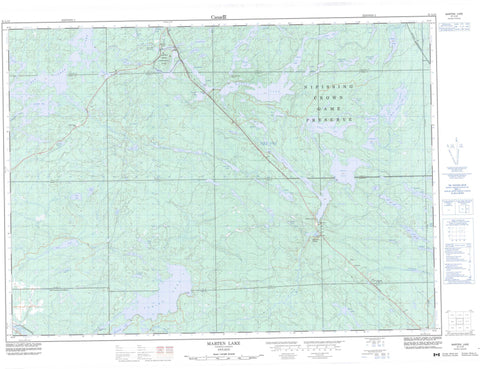
031L12 Marten Lake Canada topo map, 1:50,000 scale
031L12 Marten Lake NRCAN topographic map.
Includes UTM and GPS geographic coordinates (latitude and longitude). This 50k scale map is suitable for hiking, camping, and exploring, or you could frame it as a wall map.
Printed on-demand using high resolution, on heavy weight and acid free paper, or as an upgrade on a variety of synthetic materials.
Topos available on paper, Waterproof, Poly, or Tyvek. Usually shipping rolled, unless combined with other folded maps in one order.
- Product Number: NRCAN-031L12
- Parent Topo: TOPO-031L
- Map ID also known as: 031L12, 31L12
- Unfolded Size: Approximately 26" high by 36" wide
- Weight (paper map): ca. 55 grams
- Map Type: POD NRCAN Topographic Map
- Map Scale: 1:50,000
- Geographical region: Ontario, Canada
Neighboring Maps:
All neighboring Canadian topo maps are available for sale online at 1:50,000 scale.
Purchase the smaller scale map covering this area: Topo-031L
Spatial coverage:
Topo map sheet 031L12 Marten Lake covers the following places:
- Campten Bay - Frenchman's Bay - Laroche Bay - Leroche Bay - Loon Bay - Southwest Bay - Birch Point - The Narrows - Nipissing Ouest - Bastedo - Blyth - Charlton - Fell - Field - Gladman - Gooderham - Grant - Hammell - Kenny - La Salle - Lyman - McCallum - McLaren - Merrick - Nipissing - Notman - Osborne - Sisk - Stewart - Thistle - Fallon Island - Anderson Lake - Bassy Lake - Bastedo Lake - Beach Lake - Bear Lake - Beavermud Lake - Bidwell Lake - Bottom Lake - Bruce Lake - Camp Nine Lake - Campten Lake - Chebogomog Lake - Christie Lake - Conross Lake - Dolan Lake - Elbow Lake - Fellows Lake - Finlayson Lake - Florence Lake - Frawley Lake - Gooderham Lake - Halfmile Lake - Hammell Lake - Holdridge Lake - Horseshoe Lake - Jarvis Lake - Kaotisinimigo Lake - Kidney Lake - Lac Chebogan - Lac des Cèdres - Lac des Îles - Laroche Lake - Le Tret Lake - Leach Lake - Leroche Lake - Little Anderson Lake - Little Clear Lake - Little Otter Lake - Little Pike Lake - Little Rock Lake - Marten Lake - McPhee Lake - Minnow Lake - Moon Lake - Mud Lake - Mud Lake - Noble Lake - North Spruce Lake - Notman Lake - Oderkirk Lake - O'Shea Lake - Otter Lake - Ottertail Lake - Pike Lake - Poplar Lake - Rat Lake - Red Cedar Lake - Rock Island Lake - Rockbasin Lake - Sand Lake - Sand Lake - South Spruce Lake - Spot Lake - Sullivan Lake - Thistle Lake - Tilden Lake - Tomiko Lake - Turcotte Lake - Wicksteed Lake - Wolf Lake - Zadow Lake - Caldwell - Field - Springer - Holdridge Creek Conservation Reserve - Kenny Forest Provincial Park - Marten River Provincial Park - McLaren Forest Conservation Reserve - Temagami River Provincial Park - Bastedo Creek - Beaverdam Creek - Fellows Creek - Finlayson Creek - Hammell Creek - Holdridge Creek - Leach Creek - Little Tomiko River - Lynch Creek - Marian Creek - Marten River - Mosquito Creek - North Creek - Ottertail Creek - Pike River - Poplar River - Rivière Témagami - Rivière Tomiko - Stony Creek - Sturgeon River - Temagami River - Timagami River - Tomiko River - Temagami - West Nipissing - Diver - Ellsmere Village - Marten River - Otter - Tilden Lake


