
030N13 Consecon Canada topo map, 1:50,000 scale
030N13 Consecon NRCAN topographic map.
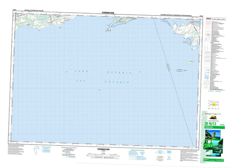
Includes UTM and GPS geographic coordinates (latitude and longitude). This 50k scale map is suitable for hiking, camping, and exploring, or you could frame it as a wall map.
Printed on-demand using high resolution, on heavy weight and acid free paper, or as an upgrade on a variety of synthetic materials.
Topos available on paper, Waterproof, Poly, or Tyvek. Usually shipping rolled, unless combined with other folded maps in one order.
- Product Number: NRCAN-030N13
- Parent Topo: TOPO-030N
- Map ID also known as: 030N13, 30N13
- Unfolded Size: Approximately 26" high by 36" wide
- Weight (paper map): ca. 55 grams
- Map Type: POD NRCAN Topographic Map
- Map Scale: 1:50,000
- Geographical region: Ontario, Canada
Neighboring Maps:
All neighboring Canadian topo maps are available for sale online at 1:50,000 scale.
Purchase the smaller scale map covering this area: Topo-030N
Spatial coverage:
Topo map sheet 030N13 Consecon covers the following places:
- North Bay - Pleasant Bay - Popham Bay - Presqu'ile Bay - Wellers Bay - Bald Head Beach - Victoria Beach - Chatterton Point - Island Point - McGlennon Point - Ogden Point - Owen Point - Pierson Point - Point Field - Presqu'ile Peninsula - Presqu'ile Point - Proctor Point - Robinson Point - Sebastopol Point - Snider Point - Prince Edward - Ameliasburgh - Cramahe - Haldimand - Murray - Northumberland - Prince Edward - Consecon Mill Dam - Cranberry Island - Gull Island - High Bluff Island - Nicholson Island - Scotch Bonnet Island - Consecon Lake - Lac Ontario - Lake Ontario - The Bluff - Northumberland - Alnwick - Alnwick/Haldimand - Ameliasburgh - Athol - Brighton - Cramahe - Haldimand - Hallowell - Hillier - Marysburgh - North Marysburgh - Sophiasburgh - South Marysburgh - Haldimand Conservation Area - North Beach Provincial Park - Presqu'ile Islands Wilderness Area - Presqu'ile Provincial Park - Réserve nationale de faune de la Baie-Wellers - Réserve nationale de faune de l'Île-Scotch-Bonnet - Scotch Bonnet Island National Wildlife Area - Wellers Bay National Wildlife Area - Whitney Memorial Dam Conservation Area - Colborne Creek - Shelter Valley Brook - Shelter Valley Creek - Camel Shoal - Collier Shoal - Dobbs Bank - Gore Shoal - Moira Shoal - Mulcaster Patch - Nettey Patch - Palen Bank - Quick Shoal - Scotch Bonnet Shoal - Brighton - Colborne - Consecon - Lakeport - Loughbreeze - Presqu'ile Point - Victoria Beach - Wicklow - Wicklow Station


