
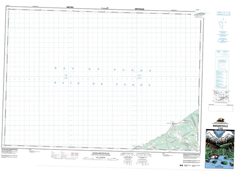
021H03 Margaretsville Canada topo map, 1:50,000 scale
021H03 Margaretsville NRCAN topographic map.
Includes UTM and GPS geographic coordinates (latitude and longitude). This 50k scale map is suitable for hiking, camping, and exploring, or you could frame it as a wall map.
Printed on-demand using high resolution, on heavy weight and acid free paper, or as an upgrade on a variety of synthetic materials.
Topos available on paper, Waterproof, Poly, or Tyvek. Usually shipping rolled, unless combined with other folded maps in one order.
- Product Number: NRCAN-021H03
- Parent Topo: TOPO-021H
- Map ID also known as: 021H03, 21H3, 21H03
- Unfolded Size: Approximately 26" high by 36" wide
- Weight (paper map): ca. 55 grams
- Map Type: POD NRCAN Topographic Map
- Map Scale: 1:50,000
- Geographical region: Nova Scotia, Canada
Neighboring Maps:
All neighboring Canadian topo maps are available for sale online at 1:50,000 scale.
Purchase the smaller scale map covering this area: Topo-021H
Spatial coverage:
Topo map sheet 021H03 Margaretsville covers the following places:
- Baie de Fundy - Bay of Fundy - Bay of Fundy - The Saddle - Boars Head - Margaretsville Point - Tom Slip Point - Sand Banks - Annapolis - Kings - Ile Haute - Isle Haute - North Mountain - The Bluff - Annapolis - Cumberland - Kings - Andrews Brook - Ben Brook - Bishop Brook - Bishop Brook - Connors Brook - McNeily Brook - Mill Brook - Mosher Brook - Neily Brook - Port George Brook - Sheep Shearer Brook - Stronach Brook - Warner Brook - Wiswal Brook - Gordon Ground - Kirk Bank - Margaretsville Bank - Tom Rock - East Margaretsville - Forest Glade - Margaretsville - McNeily - Moshers Corner - Mosher's Corner - Port George - Prince Albert - Stronach Mountain - Diamond Gulch - The Vault


