
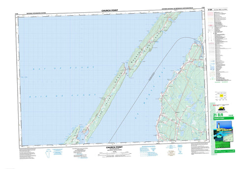
021B08 Church Point Canada topo map, 1:50,000 scale
021B08 Church Point NRCAN topographic map.
Includes UTM and GPS geographic coordinates (latitude and longitude). This 50k scale map is suitable for hiking, camping, and exploring, or you could frame it as a wall map.
Printed on-demand using high resolution, on heavy weight and acid free paper, or as an upgrade on a variety of synthetic materials.
Topos available on paper, Waterproof, Poly, or Tyvek. Usually shipping rolled, unless combined with other folded maps in one order.
- Product Number: NRCAN-021B08
- Parent Topo: TOPO-021B
- Map ID also known as: 021B08, 21B8, 21B08
- Unfolded Size: Approximately 26" high by 36" wide
- Weight (paper map): ca. 55 grams
- Map Type: POD NRCAN Topographic Map
- Map Scale: 1:50,000
- Geographical region: Nova Scotia, Canada
Neighboring Maps:
All neighboring Canadian topo maps are available for sale online at 1:50,000 scale.
Purchase the smaller scale map covering this area: Topo-021B
Spatial coverage:
Topo map sheet 021B08 Church Point covers the following places:
- Alder Cove - Anse des LeBlanc - Anse des Leblanc - Baie de Fundy - Bay of Fundy - Beach Cove - Bear Cove - Beautiful Cove - Belliveau Cove - Belliveaus Cove - Belliveaus Cove - Big Cove - Canns Cove - Cardys Cove - Cow Cove - Crique des Grosses Coques - Crowells Cove - Dunnings Cove - Dyke Cove - East Sandy Cove - Flour Cove - Flower Cove - Gooseberry Cove - Grahams Cove - Grand Passage Lighthouse Cove - Lighthouse Cove - Little Bear Cove - Little River Cove - Mink Cove - Morris Cove - Northeast Cove - Pero Jack Cove - Pleasant Bay - Plumb Cove - Porcupine Cove - Sandy Cove - Scattering Cove - Seal Cove - St. Mary Bay - St. Marys Bay - St. Mary's Bay - Strickland Cove - Sweetcake Cove - T.R.'s Cove - Ticken Cove - Tide Pond Cove - West Mink Cove - Westport Harbour - Weymouth Harbour - Whale Cove - Whites Cove - Barre à Church Point - Barre à Doucet - French Beach - Lighthouse Beach - Long Beach - Tommys Beach - Birch Point - Boars Head - Boar's Head - Burns Point - Cape Firmain - Cherry Valley Head - Church Point - Dartmouth Point - Digby Neck - Eastern Head - Flour Cove Point - Flower Cove Point - Fort Point - French Beach Point - Grand Eddy Point - Green Head - Michels Point - North Point - Northern Point - Pointe à Major - Ronnies Point - Sabean Point - Sand Point - Second Point - South Point - Western Head - Whites Point - Grand Passage - Petit Passage - Harris Bluff - Digby - Brier Island - Long Island - Peter Island - Bartlet Lake - Bartletts Lake - Belliveau Lake - Bull Lake - Harris Lake - Henriette Lake - Isaacs Lake - Jib Lake - Journeay Lake - Journeays Lake - Lac à Doucet - Lac à Isaïe - Lac à Magie - Lac à Picote - Lac à Victor - Lac Bayou - Lac d'en Bas - Lac des Bardeaux - Lac des Castors - Lac Innocent - Long Beach Pond - Long Island Lakes - Margot Lake - Meteghan Lake - Mink Cove Pond - North Doucette Lake - Oakleaf Lake - Sheep Lake - Spectacle Lake - Spectacle Lakes - The Barachois - Thibault Lake - Youngs Lake - Bourneufs Wharf - North Mountain - Clare - Digby - Central Grove Provincial Park - Grand Eddy - Belliveau River - Campsite Brook - Freshwater Stream - Gidneys Brook - Isaacs Lake Brook - Journeays Brook - Leblanc Brook - Little Brook - Little River - Long Island Brook - Meteghan River - Rivière Grosses Coques - Rocky Brook - Ruisseau des Boudreau - Sissiboo River - Spectacle Brook - Stoney Brook - T.R.'s Brook - Thibault Brook - Weavers Brook - Northwest Rip - Bald Rock - Beatson Rocks - Cow Ledge - Cow Ledge Shoal - Featherings Reef - Frenchmans Elbow - Frenchman's Elbow - John Rices Shoal - Middle Shoal - Moore Ledge - Moores Ledge - Northwest Ledge - Northwest Rock - Passage Shoal - Round Rock - St. Marys Bay Shoal - Sunken Rocks - Belliveau - Belliveau Cove - Belliveaus Cove - Central Grove - Church Point - Church Point Station - Comeauville - Concession - East Ferry - Gilberts Landing - Grosses Coques - Little Brook - Little Brook Station - Little River - Lower Concession - Mink Cove - New Edinburgh - Ohio - Sandy Cove - Saulnierville - Saulnierville Station - St. Bernard - St. Joseph - Tiddville - Weaver Settlement - Cherry Valley - Marais des Grosses Coques - Freeport - Tiverton - Westport - Weymouth


