
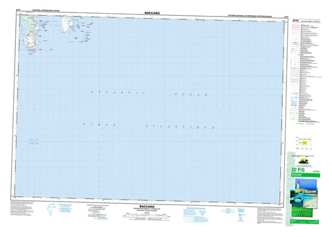
020P06 Baccaro Canada topo map, 1:50,000 scale
020P06 Baccaro NRCAN topographic map.
Includes UTM and GPS geographic coordinates (latitude and longitude). This 50k scale map is suitable for hiking, camping, and exploring, or you could frame it as a wall map.
Printed on-demand using high resolution, on heavy weight and acid free paper, or as an upgrade on a variety of synthetic materials.
Topos available on paper, Waterproof, Poly, or Tyvek. Usually shipping rolled, unless combined with other folded maps in one order.
- Product Number: NRCAN-020P06
- Parent Topo: TOPO-020P
- Map ID also known as: 020P06, 20P6, 20P06
- Unfolded Size: Approximately 26" high by 36" wide
- Weight (paper map): ca. 55 grams
- Map Type: POD NRCAN Topographic Map
- Map Scale: 1:50,000
- Geographical region: Nova Scotia, Canada
Neighboring Maps:
All neighboring Canadian topo maps are available for sale online at 1:50,000 scale.
Purchase the smaller scale map covering this area: Topo-020P
Spatial coverage:
Topo map sheet 020P06 Baccaro covers the following places:
- Barrington Bay - Bass Cove - Blanche Cove - Fort Creek - Negro Harbour - Port La Tour - Port Latour - Southwest Creek - The Sylvia - Blanche Beach - Baccaro Point - Bethels Point - Blanche Point - Cat Point - Crow Neck Peninsula - Fish Point - Fort Point - Green Point - Gull Point - The Gate - West Entrance - Shelburne - Blanche Island - Brooks Island - Crow Neck Island - Gooseberry Island - Page Island - Sheep Island - Sheep Island - The Ponds - Barrington - Baccaro Outer Ledge - Bantam Rocks - Barrel Rock - Black Ledge - Black Rock - Blanche Island Bar - Brazil Rock - Brother Rocks - Calf Ledge - Chain Ledges - Coffin Rock - Crow Neck - Cuckold Rock - Eastern Halfmoon - Flying Rock - Hogshead Ledge - Inner Rock - Nickerson Rock - North Ledge - Northeast Rock - Old Hen - Outer Rock - Passage Rock - Robinsons Ball - Robinsons Rock - Seakelp Rock - Seal Rock - Seal Rock - Shag Rock - Sheep Ledge - Sheep Ledge - Shoal Ground - Shot Pouch - Shotty Ledge - South Ledge - Southwest Rock - Sow and Pigs - Stone Horse - Tamerons Ledge - Taylors Rock - The Clump - The Old Hen - The Salvages - Western Halfmoon - Whale Back - Wigwam Rock - Wine Ledge - Baccaro - Blanche - East Baccaro - Port La Tour - Port Latour - Smithsville - Stone Horse - West Baccaro


