
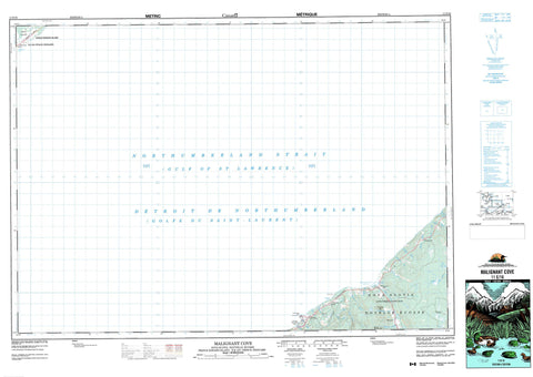
011E16 Malignant Cove Canada topo map, 1:50,000 scale
011E16 Malignant Cove NRCAN topographic map.
Includes UTM and GPS geographic coordinates (latitude and longitude). This 50k scale map is suitable for hiking, camping, and exploring, or you could frame it as a wall map.
Printed on-demand using high resolution, on heavy weight and acid free paper, or as an upgrade on a variety of synthetic materials.
Topos available on paper, Waterproof, Poly, or Tyvek. Usually shipping rolled, unless combined with other folded maps in one order.
- Product Number: NRCAN-011E16
- Parent Topo: TOPO-011E
- Map ID also known as: 011E16, 11E16
- Unfolded Size: Approximately 26" high by 36" wide
- Weight (paper map): ca. 55 grams
- Map Type: POD NRCAN Topographic Map
- Map Scale: 1:50,000
- Geographical region: Nova Scotia, Canada
Neighboring Maps:
All neighboring Canadian topo maps are available for sale online at 1:50,000 scale.
Purchase the smaller scale map covering this area: Topo-011E
Spatial coverage:
Topo map sheet 011E16 Malignant Cove covers the following places:
- Beechill Cove - Golfe du Saint-Laurent - Guernsey Cove - Gulf of St. Lawrence - Malignant Cove - Arisaig Point - Dunn Point - Détroit de Northumberland - Northumberland Strait - Antigonish - Kings - Sydney - Greendale Loch - Malignant Cove Pond - McDonald Lake - Mount MacDonald - Sugarloaf Hill - Antigonish - Arisaig Provincial Park - Île-du-Prince-Édouard - Nouvelle-Écosse - Nova Scotia - Prince Edward Island - Arbuckle Brook - Arisaig Brook - Browns Brook - Chisholm Brook - Doctors Brook - East Doctors Brook - Georgeville Brook - Horseshoe Turn Brook - Iron Brook - Loch Brook - MacAdam Brook - MacDonald Brook - MacDonalds Brook - MacGillivray Brook - MacInnis Brook - MacKinnons Brook - MacNeils Brook - Malignant Brook - McAdam Stream - McDonald Brook - McDonalds Brook - McGillivray Brook - McInnes Brook - McKinnons Brook - McNeils Brook - Mill Brook - North Lake Stream - Ross Brook - East End Reef - Frenchmans Barn - Arisaig - Doctors Brook - Georgeville - Greendale - Guernsey Cove - Malignant Cove - Maryvale - MacIsaacs Marsh


