
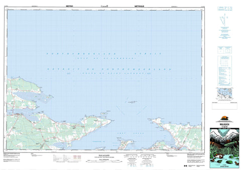
011E14 Malagash Canada topo map, 1:50,000 scale
011E14 Malagash NRCAN topographic map.
Includes UTM and GPS geographic coordinates (latitude and longitude). This 50k scale map is suitable for hiking, camping, and exploring, or you could frame it as a wall map.
Printed on-demand using high resolution, on heavy weight and acid free paper, or as an upgrade on a variety of synthetic materials.
Topos available on paper, Waterproof, Poly, or Tyvek. Usually shipping rolled, unless combined with other folded maps in one order.
- Product Number: NRCAN-011E14
- Parent Topo: TOPO-011E
- Map ID also known as: 011E14, 11E14
- Unfolded Size: Approximately 26" high by 36" wide
- Weight (paper map): ca. 55 grams
- Map Type: POD NRCAN Topographic Map
- Map Scale: 1:50,000
- Geographical region: Nova Scotia, Canada
Neighboring Maps:
All neighboring Canadian topo maps are available for sale online at 1:50,000 scale.
Purchase the smaller scale map covering this area: Topo-011E
Spatial coverage:
Topo map sheet 011E14 Malagash covers the following places:
- Amet Sound - Barachois Harbour - Barrachois Harbour - Brown Bay - Brule Harbour - Brûlé Harbour - David Creek - Fox Creek - Fox Harbour - Golfe du Saint-Laurent - Gulf of St. Lawrence - Hithon Bight - John Bay - Lazy Bay - Little Cove - MacLeod Cove - McNabs Bay - Megs Cove - Salisbury Bight - Seamon Creek - Skinner Cove - Skinners Cove - Tatamagouche Bay - The Basin - Wallace Harbour - Hortons Beach - Long Beach - MacLeans Beach - Murray Beach - The Flat - Amet Spit - Angel Point - Archibalds Point - Betts Point - Brule Point - Brule Point - Brûlé Point - Cantwell Point - Cape Cliff - Cape John - Caulfield Point - Chambers Point - Clarks Point - Dougherty Point - Forbes Point - Gravois Point - Horton Point - Johnsons Point - Lazy Point - Long Point - Macfarlane Point - Mackenzie Point - Malagash Point - Marsh Point - McIver Point - McIvers Head - McNab Point - McNabs Point - Mullins Point - Murphy Point - Palmer Point - Peninsula Point - Quarry Point - Reef Point - Robinsons Point - Rocky Point - Salisbury Point - Sandies Point - Schooner Point - Smith Point - Treen Point - Weatherbie Spit - Weatherbies Point - Weatherbies Spit - Détroit de Northumberland - Eastern Passage - Middle Passage - Northumberland Strait - Oak Island Gully - Ship Channel - Western Passage - Treen Bluff - Colchester - Cumberland - Pictou - Amet Island - Emerys Island - Jerry Island - Oak Island - Oyster Island - Purdy Island - Saddle Island - Snag Island - Sunken Island - Thrumcap - Waugh Island - Duck Pond - MacInnis Pond - Colchester - Cumberland - Pictou - Fox Harbour Provincial Park - Rushtons Beach Provincial Park - Charman Brook - Conley Creek - Dewar River - Golden Brook - Hurd Brook - Meads Brook - Mill Brook - Purdy Creek - River John - Robinson Brook - Ross Brook - Seal Creek - Wade Brook - Amet Island Shoals - Amet Shoals - Betts Ground - Brule Shoals - Brûlé Shoals - East Patch - Eastern Peak - Georgies Bank - Horton Bank - Hortons Bank - Jollimore Reef - Middleground Shoal - Oak Island Bar - Shag Rock - Shag Rocks - Ship Bar - The Flats - The Rock Pile - Treen Reef - Treen Reef - Trenholm Shoal - Washball Reef - Washball Rock - Waugh Shoal - Back Shore - Blue Sea Corner - Brule Point - Brule Shore - Brûlé Shore - Cape John - East Wallace - Fox Harbour - Hedgeville - Malagash - Malagash Center - Malagash Mine - Malagash Point - Malagash Station - Marshville - Melville - North Shore - North Wallace - Richmond - River John - Six Mile Road - South Shore - Upper Malagash - Wallace - Wallace Ridge - Wallace Station - Westerly - Westerly


