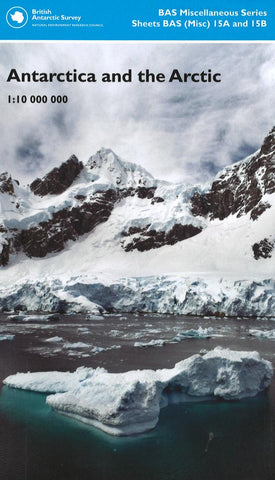
Antarctica and the Arctic 1:10 000 000
Double-sided, this map of the polar regions depicts the Arctic on one side (1:10,000,000) and Antarctica on the other (1:10,000,000). With insets of the rock surfaces beneath the ice, sea ice extent, permafrost, political boundaries, land cover, and topography. Each projection includes bathymetry.
- Product Number: BAS_ANT_ARC_18
- Reference Product Number: 2333749M
- ISBN: 9780856652196
- Date of Publication: 6/1/2018
- Folded Size: 9.06 inches high by 5.51 inches wide
- Unfolded (flat) Size: 33.07 inches high by 33.07 inches wide
- Map format: Folded
- Map type: Trade Maps - Travel


