
United States, Northeast by Borch GmbH.
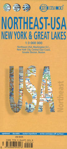
This soft-laminated folded map of Northeast-USA - New York & Great Lakes shows: Northeast USA 1:3 000 000, Greater Boston 1:1 000 000, Central East Coast 1:1 000 000, Boston 1: 14 000, New York City 1:20 000, Washington DC 1:15 000, USA administrative & time zones. Borch maps are easy to fold, durable and water-repellent with a wipeable surface. Borch Maps show hotels, museums, monuments, markets, public transport, top sights and points of interest, useful statistics, conversion charts for temperatures, weights and measurements, climate charts showing temperatures, sunshine hours, precipitation and humidity, overview maps, time zones, and much more...
From Philadelphias Independence Park to Bostons Freedom Trail, New Yorks Federal Hall to Washingtons Capitol Hill, from the Potomac to the Honeymooners Paradise of Niagara Falls, New England and the mid-Atlantic States are brimming with history and tantalizing beauty. Those who want to escape the frenetic pace of New York and Boston will be delighted by New Englands old charm: the timeless beauty of Americas Rhine (the Hudson River Valley north of New York); the wildlife refuges of Long Island; the unique flavor of Cape Cod; the historic cities of Worcester and Providence. Washington D.C., the nations magnificent capital, provides opportunity for fascinating excursions into the beautiful history-laden hinterland, including Manassas and Fredericksburg - former battlefields of the Civil War; Pennsylvania Dutch Country; the intriguing Appalachian ridges where the first Irish and German settlers established their roots and the enchanting scenery around Virginias Tidewater region.
- Product Number: 2256513M
- Product Code: BOR_USA_5
- ISBN: 9783866093218
- Year of Publication: 2017
- Folded Size: 9.45 x 4.33 inches
- Unfolded Size: 26.77 x 18.9 inches
- Map type: Folded Map
- Geographical region: New York


