Schoharie and Otsego Counties, New York by Jimapco
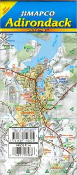
Map of Schoharie and Otsego Counties with legend. On reverse insets of Cooperstown, Richfield Springs, Gilbertsville, Unadilla, Cobleskill, Morris, Otego, Laurens, Cherry Valley, Sharon Springs, Richmondville, Worcester, Schenevus, Esperance, Central Bridge, Schoharie, Middleburgh and Oneonta with legend. Road and places of interest index accompanies maps,
- Product Number: 2032887M
- Product Code: JIM_CO_SCHOHA
- ISBN: 9781569147351
- Year of Publication: 2009
- Folded Size: 9.45 x 4.33 inches
- Unfolded Size: 24.8 x 36.220 inches
- Map type: Folded Map
- Geographical region: New York

