
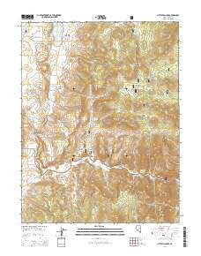
~ Little Fish Lake NV topo map, 1:24000 scale, 7.5 X 7.5 Minute, 2014
Little Fish Lake, Nevada, USGS topographic map dated 2014.
Includes geographic coordinates (latitude and longitude). This topographic map is suitable for hiking, camping, and exploring, or framing it as a wall map.
Printed on-demand using high resolution imagery, on heavy weight and acid free paper, or alternatively on a variety of synthetic materials.
Topos available on paper, Waterproof, Poly, or Tyvek. Usually shipping rolled, unless combined with other folded maps in one order.
- Product Number: USGS-7173016
- Free digital map download (high-resolution, GeoPDF): Little Fish Lake, Nevada (file size: 30 MB)
- Map Size: please refer to the dimensions of the GeoPDF map above
- Weight (paper map): ca. 55 grams
- Map Type: POD USGS Topographic Map
- Map Series: US Topo
- Map Verison: Current
- Cell ID: 25964
- Datum: North American Datum of 1983
- Map Projection: Transverse Mercator
- Map Cell Name: Little Fish Lake
- Grid size: 7.5 X 7.5 Minute
- Date on map: 2014
- Map Scale: 1:24000
- Geographical region: Nevada, United States
Neighboring Maps:
All neighboring USGS topo maps are available for sale online at a variety of scales.
Spatial coverage:
Topo map Little Fish Lake, Nevada, covers the geographical area associated the following places:
- Iron Spring - Arrastra Ruins - Mountain View Mill (historical) - Old Dugan Ranch - Hot Creek Pass - Upper Warm Spring - Mountain View - Hot Creek Range - Old Page Place - Page Mine - Fourmile Flats - Cress Spring - Fish Lake Valley Creek - Little Fish Lake Valley - Pot Hole - Pat Spring - Dead Cow Ridge - Horse Canyon - Old Dugan Place Hot Spring - Squaw Flat - Indian Garden Creek - Corral Canyon - Indian Jim Mine - Page Springs - Box Canyon - Cold Spring - Little Fish Lake
- Map Area ID: AREA38.62538.5-116.5-116.375
- Northwest corner Lat/Long code: USGSNW38.625-116.5
- Northeast corner Lat/Long code: USGSNE38.625-116.375
- Southwest corner Lat/Long code: USGSSW38.5-116.5
- Southeast corner Lat/Long code: USGSSE38.5-116.375
- Northern map edge Latitude: 38.625
- Southern map edge Latitude: 38.5
- Western map edge Longitude: -116.5
- Eastern map edge Longitude: -116.375


