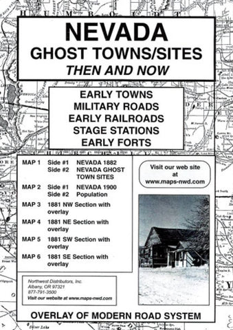
Nevada, Ghost Towns, 6-Map Set, Then and Now by Northwest Distributors
This unusual product is a must for the treasure hunter. It is unlike any other map collection in the market place. The maps of 1882 and 1900 are of excellent quality. Railroad and wagon roads are clearly defined. The map of 1900 is from the early Cram Atlas of that year. A census report for 1900, 1950 and 2000 allows the reader to know the growth or failure of many early town-sites. Nevada Ghost Town Sites map has been included through the courtesy of the Nevada Bureau of Mines. The state map of 1881 has been divided into four sections. Each section has an overlay of the modern road system printed on clear milar to create an important tool in locating early sites. The reverse side of each section touch on a small bit of history for that section.
- Product Number: 2048362M
- Product Code: NWD_NV_GHOST
- ISBN: 9780972044141
- Year of Publication: 2003
- Folded Size: 9.45 x 6.3 inches
- Unfolded Size: 21.26 x 16.14 inches
- Map type: Folded Map
- Geographical region: Nevada

