
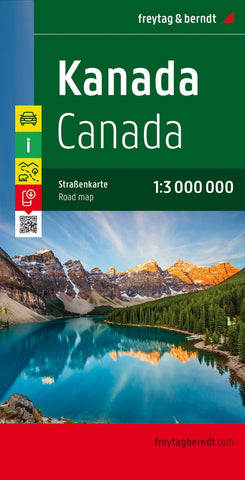
Canada, road map 1:3,000,000
Large, double-sided, indexed map of Canada, extending northwards to show the whole of the Northwest Passage. Relief shading shows the country’s topography, with plenty of names of mountain ranges, peaks and passes, lakes, rivers and islands. Swamp areas are marked and national or provincial parks, nature reserves and Indian reservations are highlighted. Symbols indicate various places of interest, including historical sites, museums and churches, waterfalls, caves, hot springs, etc.
The map shows Canada’s provincial boundaries, main road and rail networks, ferry routes, as well as local airfields in the more remote ares. The country is divided just west of the Great Lakes and coverage extends to beyond 76° north, to include the whole of the Northwest Passage. Latitude and longitude lines are drawn at 2° intervals. The map has an index of place names. Multilingual map legend includes English.
- Product Number: FB_CANADA_20
- Reference Product Number: - None -
- ISBN: 9783707915525
- Date of Publication: 7/30/2020
- Folded Size: 10.02 inches high by 5.11 inches wide
- Unfolded (flat) Size: 10.02 inches high by 5.11 inches wide
- Map format: Folded
- Map type: Trade Maps - Road
- Geographical region: Canada


