
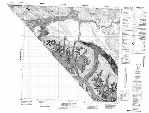
114P05 Konamoxt Glacier Canada topo map, 1:50,000 scale
114P05 Konamoxt Glacier NRCAN topographic map.
Includes UTM and GPS geographic coordinates (latitude and longitude). This 50k scale map is suitable for hiking, camping, and exploring, or you could frame it as a wall map.
Printed on-demand using high resolution, on heavy weight and acid free paper, or as an upgrade on a variety of synthetic materials.
Topos available on paper, Waterproof, Poly, or Tyvek. Usually shipping rolled, unless combined with other folded maps in one order.
- Product Number: NRCAN-114P05
- Parent Topo: TOPO-114P
- Map ID also known as: 114P05, 114P5
- Unfolded Size: Approximately 26" high by 36" wide
- Weight (paper map): ca. 55 grams
- Map Type: POD NRCAN Topographic Map
- Map Scale: 1:50,000
- Geographical region: British Columbia, Canada
Neighboring Maps:
All neighboring Canadian topo maps are available for sale online at 1:50,000 scale.
Purchase the smaller scale map covering this area: Topo-114P
Spatial coverage:
Topo map sheet 114P05 Konamoxt Glacier covers the following places:
- Konamoxt Glacier - Melbern Glacier - Netland Glacier - Reynolds Glacier - Staircase Glacier - Alsek Ranges - Fairweather Range - Fairweather Ranges - Icefield Ranges - Noisy Range - Pentice Ridge - St. Elias Mountains - Kluane/Wrangell-St. Elias/Glacier Bay/Tatshenshini-Alsek World Heritage Site - Site du patrimoine mondial Kluane/Wrangell-St. Elias/Glacier Bay/Tatshenshini-Alsek - Tatshenshini-Alsek Park - Tatshenshini-Alsek Wilderness Park - Alsek River - Melt Creek - Ninetyeighter Creek - Tatshenshini River


