
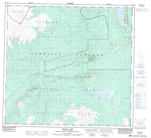
104J08 Dease Lake Canada topo map, 1:50,000 scale
104J08 Dease Lake NRCAN topographic map.
Includes UTM and GPS geographic coordinates (latitude and longitude). This 50k scale map is suitable for hiking, camping, and exploring, or you could frame it as a wall map.
Printed on-demand using high resolution, on heavy weight and acid free paper, or as an upgrade on a variety of synthetic materials.
Topos available on paper, Waterproof, Poly, or Tyvek. Usually shipping rolled, unless combined with other folded maps in one order.
- Product Number: NRCAN-104J08
- Parent Topo: TOPO-104J
- Map ID also known as: 104J08, 104J8
- Unfolded Size: Approximately 26" high by 36" wide
- Weight (paper map): ca. 55 grams
- Map Type: POD NRCAN Topographic Map
- Map Scale: 1:50,000
- Geographical region: British Columbia, Canada
Neighboring Maps:
All neighboring Canadian topo maps are available for sale online at 1:50,000 scale.
Purchase the smaller scale map covering this area: Topo-104J
Spatial coverage:
Topo map sheet 104J08 Dease Lake covers the following places:
- Dease Lake Indian Reserve 9 - Réserve indienne Dease Lake 9 - Réserve indienne Tatcho Creek 11 - Tatcho Creek Indian Reserve 11 - Allan Lake - Hluey Lakes - Sitsa Lake - Tuttidueh Lake - Cassiar Mountains - Hotailuh Range - Snow Peak - Tatsho Mountain - Stikine Plateau - Tanzilla Plateau - Auguschidle Creek - Frazier Creek - Hluey Creek - Hotel Creek - Itsillitu Creek - Little Dease Creek - Pallen Creek - Sixteen Mile Creek - Tanzilla River - Tatsho Creek - Tsenaglode Creek - Dease Lake - Lake House


