
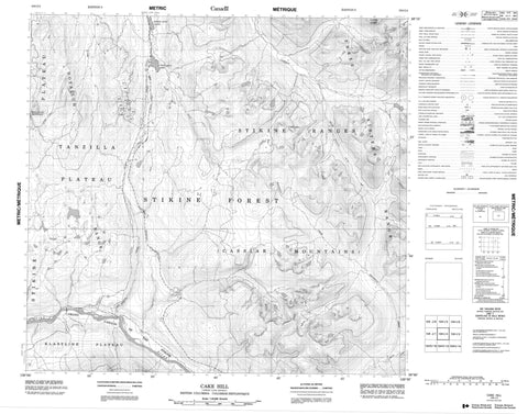
104I04 Cake Hill Canada topo map, 1:50,000 scale
104I04 Cake Hill NRCAN topographic map.
Includes UTM and GPS geographic coordinates (latitude and longitude). This 50k scale map is suitable for hiking, camping, and exploring, or you could frame it as a wall map.
Printed on-demand using high resolution, on heavy weight and acid free paper, or as an upgrade on a variety of synthetic materials.
Topos available on paper, Waterproof, Poly, or Tyvek. Usually shipping rolled, unless combined with other folded maps in one order.
- Product Number: NRCAN-104I04
- Parent Topo: TOPO-104I
- Map ID also known as: 104I04, 104I4
- Unfolded Size: Approximately 26" high by 36" wide
- Weight (paper map): ca. 55 grams
- Map Type: POD NRCAN Topographic Map
- Map Scale: 1:50,000
- Geographical region: British Columbia, Canada
Neighboring Maps:
All neighboring Canadian topo maps are available for sale online at 1:50,000 scale.
Purchase the smaller scale map covering this area: Topo-104I
Spatial coverage:
Topo map sheet 104I04 Cake Hill covers the following places:
- McLean Point - Lower Gnat Lake - Upper Gnat Lake - Cake Hill - Cassiar Mountains - Horn Mountain - Hotailuh Range - Stikine Ranges - Thenatlodi Mountain - Three Sisters Range - Stikine River Recreation Area - Klastline Plateau - Stikine Plateau - Tanzilla Plateau - Gnat Creek - Latham Creek - Moose Creek - Stikine River - Tanzilla River - Tees Creek - Gnat Pass


