
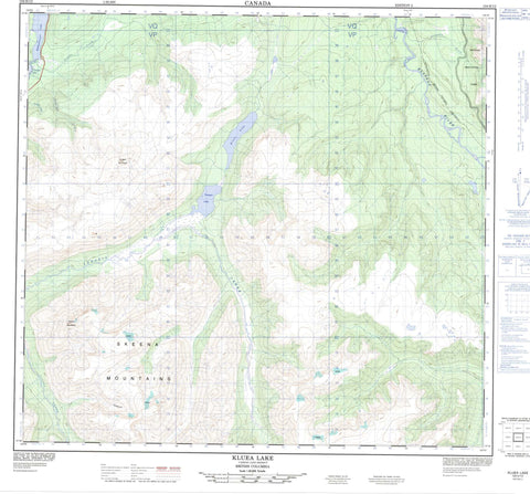
104H12 Kluea Lake Canada topo map, 1:50,000 scale
104H12 Kluea Lake NRCAN topographic map.
Includes UTM and GPS geographic coordinates (latitude and longitude). This 50k scale map is suitable for hiking, camping, and exploring, or you could frame it as a wall map.
Printed on-demand using high resolution, on heavy weight and acid free paper, or as an upgrade on a variety of synthetic materials.
Topos available on paper, Waterproof, Poly, or Tyvek. Usually shipping rolled, unless combined with other folded maps in one order.
- Product Number: NRCAN-104H12
- Parent Topo: TOPO-104H
- Map ID also known as: 104H12
- Unfolded Size: Approximately 26" high by 36" wide
- Weight (paper map): ca. 55 grams
- Map Type: POD NRCAN Topographic Map
- Map Scale: 1:50,000
- Geographical region: British Columbia, Canada
Neighboring Maps:
All neighboring Canadian topo maps are available for sale online at 1:50,000 scale.
Purchase the smaller scale map covering this area: Topo-104H
Spatial coverage:
Topo map sheet 104H12 Kluea Lake covers the following places:
- Eddontenajon Lake - Kluea Lake - Kluea Lake - Tatogga Lake - Todagin Lake - Skeena Mountains - Todagin Mountain - Tsatia Mountain - Regional District of Kitimat-Stikine - Spatsizi Plateau Wilderness Park - Stikine River Recreation Area - Todagin South Slope Park - Stikine Plateau - Coyote Creek - Iskut River - Jackson Creek - Kimball Creek - Klappan River - Todagin Creek - Tsanadto Creek - Tsatia Creek - Tatogga


