
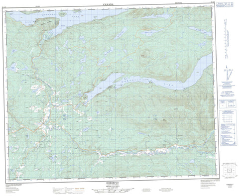
093A06 Horsefly Canada topo map, 1:50,000 scale
093A06 Horsefly NRCAN topographic map.
Includes UTM and GPS geographic coordinates (latitude and longitude). This 50k scale map is suitable for hiking, camping, and exploring, or you could frame it as a wall map.
Printed on-demand using high resolution, on heavy weight and acid free paper, or as an upgrade on a variety of synthetic materials.
Topos available on paper, Waterproof, Poly, or Tyvek. Usually shipping rolled, unless combined with other folded maps in one order.
- Product Number: NRCAN-093A06
- Parent Topo: TOPO-093A
- Map ID also known as: 093A06, 93A6, 93A06
- Unfolded Size: Approximately 26" high by 36" wide
- Weight (paper map): ca. 55 grams
- Map Type: POD NRCAN Topographic Map
- Map Scale: 1:50,000
- Geographical region: British Columbia, Canada
Neighboring Maps:
All neighboring Canadian topo maps are available for sale online at 1:50,000 scale.
Purchase the smaller scale map covering this area: Topo-093A
Spatial coverage:
Topo map sheet 093A06 Horsefly covers the following places:
- Birch Bay - Horsefly Bay - Mitchell Bay - Beach Point - Hazeltine Point - Horsefly Peninsula - Lynx Peninsula - Ninds Point - Horn Bluff - Cariboo Island - Hansen Island - Plato Island - Spirit Isle - Abbott Lake - Alah (Birch) Lake - Alah Lake - Antoine Lake - Arms Lake - Armstrong Lake - China Cabin Lake - Corner Lake - Dillabough Lake - Douglas Lake - Eric Lake - Gammarus Lake - Green Lake - Gruhs Lake - Harpers Lake - Hen Ingram (Ninemile) Lake - Hen Ingram Lake - Hooker Lake - Horsefly Lake - Jacques Lake - Jim Lowry Lake - Keno Lake - Kwun Lake - Lea (Meadow) Lake - Lea Lake - Lemon Lake - Little Horsefly Lake - Malcolm Lake - Melissa Lake - Murdock Lakes - Nikwit Lake - Niquidet Lake - Patenaude Lake - Quesnel Lake - Rat Lake - Ratdam Lake - Shiko Lake - Star Lake - Starlike Lake - Stillwater Lake - Sucker Lake - Sucre Lake - Triplet Lake - Ussa (Camp) Lake - Ussa Lake - Wawn Lake - Whiffle Lake - Wolftrack Lake - Black Mountain - Horsefly Mountain - Quesnel Highland - Viewland Mountain - Cariboo Regional District - Horsefly Lake Park - Fraser Plateau - Interior Plateau - Barker Creek - Beaver Creek - Black Creek - China Cabin Creek - Club Creek - Deerhorn Creek - Dillabough Creek - East Fork Black Creek - Gibbons Creek - Horsefly River - Little Horsefly River - McKinley Creek - Moffat Creek - Mussel Creek - Niquidet Creek - Patenaude Creek - Spusks Creek - Sucker Creek - Tisdall Creek - Vedder Creek - Viewland Creek - Waddell Creek - Whiffle Creek - Whittle Creek - Wiffle Creek - Wilmot Creek - Winkley Creek - Woodjam Creek - Black Creek - Horsefly - Barker Swamp


