
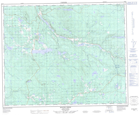
093A05 Beaver Creek Canada topo map, 1:50,000 scale
093A05 Beaver Creek NRCAN topographic map.
Includes UTM and GPS geographic coordinates (latitude and longitude). This 50k scale map is suitable for hiking, camping, and exploring, or you could frame it as a wall map.
Printed on-demand using high resolution, on heavy weight and acid free paper, or as an upgrade on a variety of synthetic materials.
Topos available on paper, Waterproof, Poly, or Tyvek. Usually shipping rolled, unless combined with other folded maps in one order.
- Product Number: NRCAN-093A05
- Parent Topo: TOPO-093A
- Map ID also known as: 093A05, 93A5, 93A05
- Unfolded Size: Approximately 26" high by 36" wide
- Weight (paper map): ca. 55 grams
- Map Type: POD NRCAN Topographic Map
- Map Scale: 1:50,000
- Geographical region: British Columbia, Canada
Neighboring Maps:
All neighboring Canadian topo maps are available for sale online at 1:50,000 scale.
Purchase the smaller scale map covering this area: Topo-093A
Spatial coverage:
Topo map sheet 093A05 Beaver Creek covers the following places:
- Bullion - Abbott Lake - Alpha Lake - Anders Lake - Antoine Lake - Bacon Lake - Baillon Lake - Ballon Lake - Batten Lake - Beaux Yeux Lake - Beaver Lake - Beaver Lake - Bells Lake - Beveridge Lake - Big Lake - Brighten Lake - Bunting Lake - Camille Lake - Choate Lake - Cook Lake - Crazy Lake - Dorsey Lake - Echofar Lake - Edney Lake - Fire Lake - Gavin Lake - Hart Lake - Inez Lake - Jessica Lake - Jug Lake - Jumeau Lakes - Jumeaux Lakes - Lake George - Lemon Lake - Marguerite Lake - McCauley Lake - McInnes Lake - Meiss Lake - Milefive Lake - Moorhouse Lake - Parker Lake - Patenaude Lake - Patton Lake - Peter Lake - Prouton Lakes - Robert Lake - Sausser Lake - Skulow Lake - Solomon Lake - Upham Lake - Upper Wiggins Lake - Veith Lake - Wiggins Lake - Guy Mountain - Guys Mountain - Limestone Mountain - Mount Guy - Potato Mountain - Cariboo Regional District - Fraser Plateau - Interior Plateau - Anders Creek - Antoine Creek - Bacon Creek - Baillon Creek - Ballon Creek - Beaver Creek - Beedy Creek - Big Lake Creek - Bottle Creek - Bunting Creek - Choate Creek - Club Creek - Edney Creek - Gallagher Creek - Gavin Creek - Gravel Creek - Guy Creek - Hawks Creek - Hazeltine Creek - Huxtable Creek - Jacobson Creek - Johnny Creek - Jug Creek - McCastle Creek - Meiss Creek - Milefive Creek - Moorhouse Creek - Nel Creek - Parminter Creek - Peavineridge Creek - Peterson Creek - Prouton Creek - Semple Creek - Solomon Creek - Teasdale Creek - Upper Bottle Creek - Watson Creek - Wiggins Creek - Big Lake Ranch - Fraser Basin


